
Pulau Tiga, district in Natuna Regency, Riau Islands Province, Indonesia
Location: Natuna
Elevation above the sea: 211 m
GPS coordinates: 3.61833,108.10000
Latest update: March 4, 2025 00:25
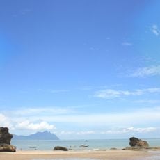
Bako National Park
337.7 km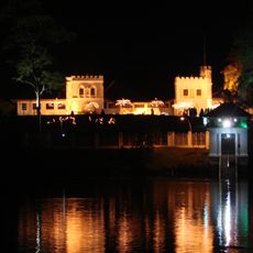
The Astana
338.6 km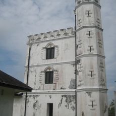
Fort Margherita
339.2 km
Sarawak Stadium
338 km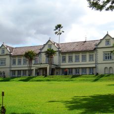
Sarawak State Museum
339.1 km
Kuching Cat Museum
335.9 km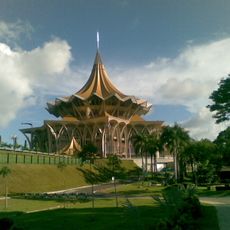
New Sarawak State Legislative Assembly Building
339 km
Planetarium Sultan Iskandar
339.7 km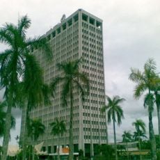
Wisma Bapa Malaysia
338.8 km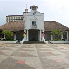
Kuching Old Courthouse
338.9 km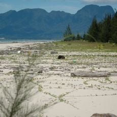
Kuching Wetlands National Park
321.8 km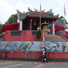
Tua Pek Kong Temple, Kuching
339.4 km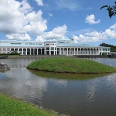
Sarawak State Library
337.5 km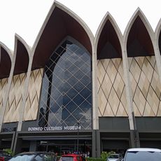
Borneo Cultures Museum
339 km
St. Joseph's Cathedral, Kuching
339.3 km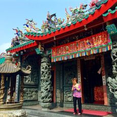
Hong San Si Temple
339.3 km
Islamic Heritage Museum
338.9 km
Chinese History Museum
339.3 km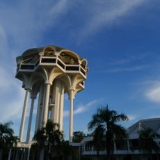
Kuching Civic Centre
339.7 km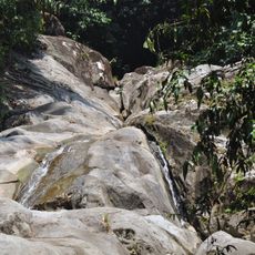
Gunung Gading National Park
289.4 km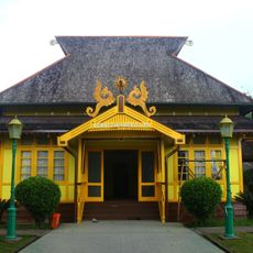
Alwatzikoebillah Place
284.3 km
Bubur Gunting
314.8 km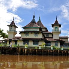
Masjid Jami Keraton Sambas
284.3 km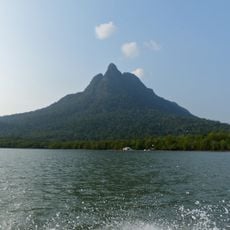
Santubong National Park
322.1 km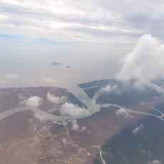
Talang Satang National Park
307.5 km
Textile Museum Sarawak
338.9 km
Museum Daerah Kabupaten Sambas
284 km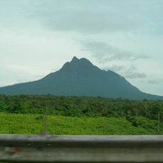
Mount Santubong
324.8 kmReviews
Visited this place? Tap the stars to rate it and share your experience / photos with the community! Try now! You can cancel it anytime.
Discover hidden gems everywhere you go!
From secret cafés to breathtaking viewpoints, skip the crowded tourist spots and find places that match your style. Our app makes it easy with voice search, smart filtering, route optimization, and insider tips from travelers worldwide. Download now for the complete mobile experience.

A unique approach to discovering new places❞
— Le Figaro
All the places worth exploring❞
— France Info
A tailor-made excursion in just a few clicks❞
— 20 Minutes