Enable Location

We need your location to show you interesting places around you

Discover nearby places

Find interesting locations and hidden gems around you

Precise directions

Get accurate directions and distances to places

Your location is never shared with other users. It's only used when you tap the location button.

Feldkirchen in Kärnten

Log in to your account

Start exploring — it's free

Trusted by 62,170 travelers worldwide

Continue with Google
Continue with Apple
or

We will send you a code to connect

By continuing, you accept our Terms and Conditions and our Privacy Policy

Check your inbox

We've sent a pincode in your inbox. Please enter the code below.

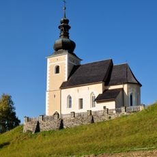
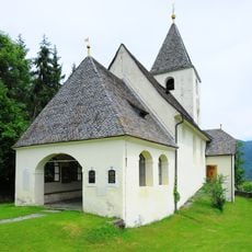
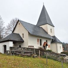
Feldkirchen in Kärnten, municipality in Feldkirchen District, Carinthia, Austria

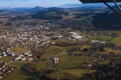
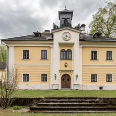
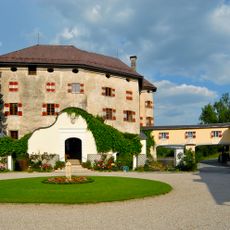
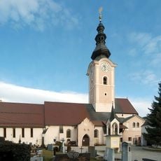
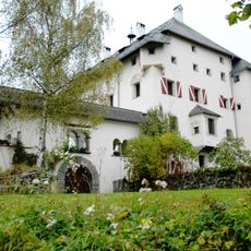
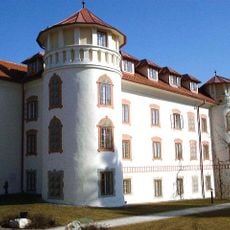
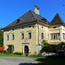
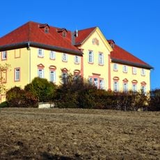
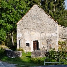
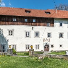
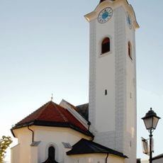
Feldkirchen in Kärnten is a mid-sized town set in rolling hills at the foot of the Nockberge mountains at about 1,800 feet (550 meters) elevation. The center is compact and walkable, with shops, restaurants, and the Bamberger Amthof, a historic building now serving as an event venue, administrative center, and home to the local history museum.

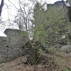
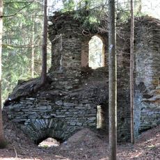
The area around Feldkirchen was inhabited by Celts and Romans in ancient times, showing early human settlement in the region. In medieval times, the town became an important meeting place for local rulers, and over 560 years ago it was first documented as having a tavern, showing its role as a gathering place.

The town is known locally as Tiebelstadt, named after the small river that flows through it and shapes daily life. Community gathering and hospitality are central to how residents experience the place, evident in weekly markets and local events where neighbors and visitors come together.

The town is small enough to explore on foot, with buses connecting to neighborhoods farther out. The local tourist office helps with planning stays, finding activities, and arranging accommodations.

The nearby Flatschacher See is a popular spot for ice skating on natural ice in winter, with the ice regularly checked for safety. In summer, the same lake becomes a swimming destination with large grassy areas and serves as a trailhead for walks into the surrounding landscape.

The community of curious travelers

AroundUs brings together thousands of curated places, local tips, and hidden gems, enriched daily by 60,000 contributors worldwide.

Start exploring
Elevation above the sea
554 m
Shares border with
Himmelberg, Glanegg, Moosburg, Techelsberg am Wörther See, Velden am Wörther See, Ossiach, Steindorf am Ossiacher See, Steuerberg, Sankt Urban
GPS coordinates
46.72361,14.09194
Latest update
February 7, 2026 09:31
« Feldkirchen in Kärnten - municipality in Feldkirchen District, Carinthia, Austria » is provided by Around Us (aroundus.com). Images and texts are derived from Wikimedia project under a Creative Commons license. You are allowed to copy, distribute, and modify copies of this page, under the conditions set by the license, as long as this note is clearly visible.

Discover hidden gems everywhere you go!

From secret cafés to breathtaking viewpoints, skip the crowded tourist spots and find places that match your style. Our app makes it easy with voice search, smart filtering, route optimization, and insider tips from travelers worldwide. Download now for the complete mobile experience.

Around Us App Screenshot

A unique approach to discovering new places

Le Figaro

All the places worth exploring

France Info

A tailor-made excursion in just a few clicks

20 Minutes

Around Us
Travel Guide & Maps
Download

Send to your phone

QR Code
1

Open the camera app on your mobile.

2

Point at the QR code with your camera. A notification will appear.

3

Tap the notification to open the link.