
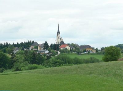
Stroheim, municipality in Eferding District, Upper Austria, Austria
Location: Eferding District
Elevation above the sea: 489 m
Shares border with: Sankt Agatha, Haibach ob der Donau, Hartkirchen, Pupping, Hinzenbach, Prambachkirchen, Waizenkirchen
Email: gemeinde@stroheim.ooe.gv.at
Website: http://stroheim.at
GPS coordinates: 48.33889,13.95833
Latest update: March 8, 2025 21:02
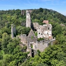
Schaunberg Castle Ruins
1.5 km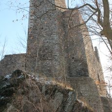
Burgruine Stauf
5 km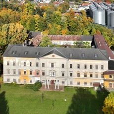
Schloss Aschach an der Donau
5.2 km
Franziskanerkloster Pupping
3.1 km
Schloss Dachsberg
4.9 km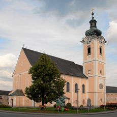
Pfarrkirche Hartkirchen
4.3 km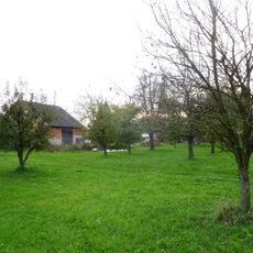
Schloss Gstöttenau
3.8 km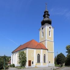
Saint Margaret church
4.8 km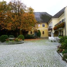
Malteserstöckl, Stroheim
160 m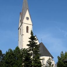
Sankt Johannes der Täufer
182 m
Garten der Geheimnisse
1.7 km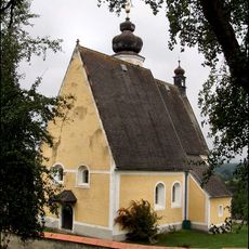
Sankt Johannes der Täufer
3.7 km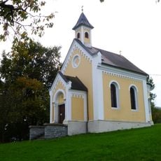
Landerl-Kapelle
2.1 km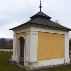
Brunnenkapelle Hilkering
3.7 km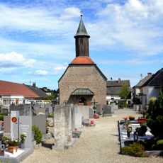
Kath. Filialkirche hl. Laurenz (Spitalkirche Aschach, Friedhofskirche)
5.5 km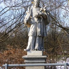
Statue of John of Nepomuk, Hartkirchen
3.4 km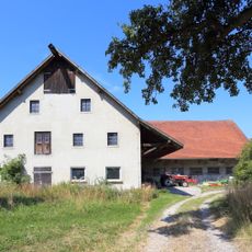
Bauernhof (Anlage), Moarhof
5 km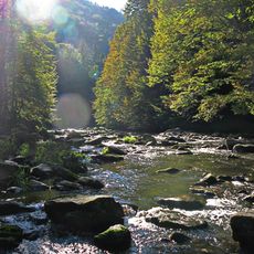
Aschachtal in der Gemeinde Stroheim
5.7 km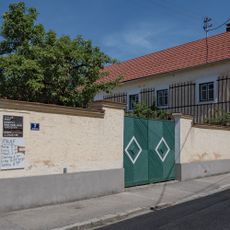
Bauernhof (Anlage), Weihsenhof
5.6 km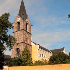
Kath. Pfarrkirche
3.1 km
Dreifaltigkeitssäule
4.6 km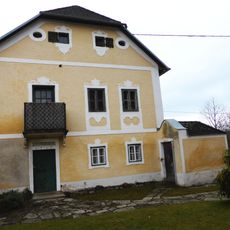
Pfarrhof Hilkering
3.7 km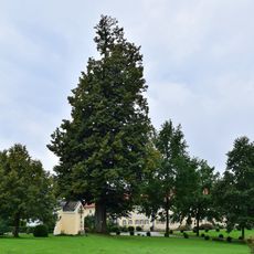
Fadinger Linde
7 km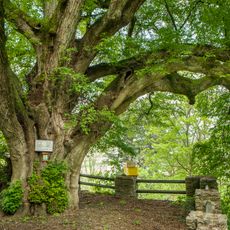
Burg oder Schlosslinde in Schaunberg
1.4 km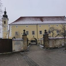
Pfarrhof Hartkirchen
4.3 km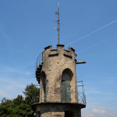
Mayerhofer Bergwarte
3.8 km
Wohnhaus
5.6 km
Wohnhaus, Oberes Tischlerhaus
5.6 kmReviews
Visited this place? Tap the stars to rate it and share your experience / photos with the community! Try now! You can cancel it anytime.
Discover hidden gems everywhere you go!
From secret cafés to breathtaking viewpoints, skip the crowded tourist spots and find places that match your style. Our app makes it easy with voice search, smart filtering, route optimization, and insider tips from travelers worldwide. Download now for the complete mobile experience.

A unique approach to discovering new places❞
— Le Figaro
All the places worth exploring❞
— France Info
A tailor-made excursion in just a few clicks❞
— 20 Minutes