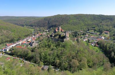
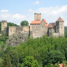
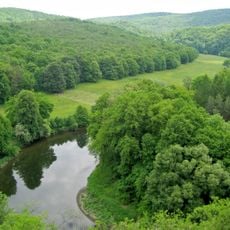
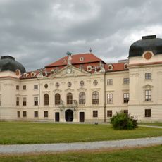
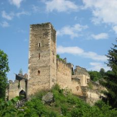
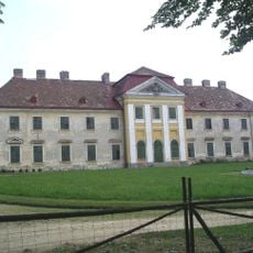
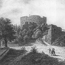
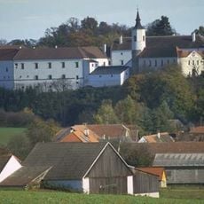
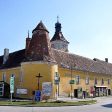
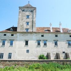
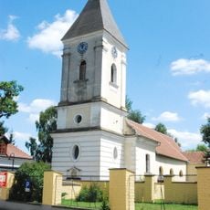
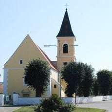
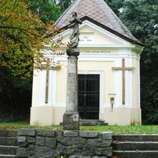
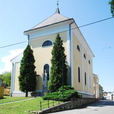
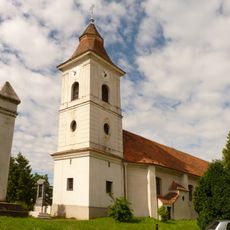
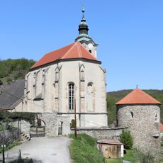
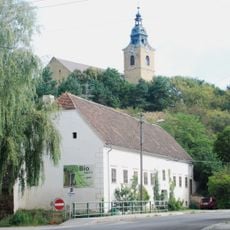
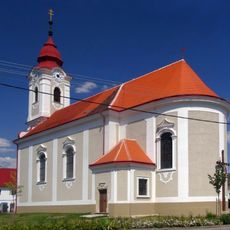
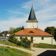
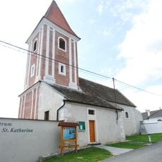
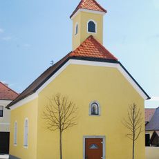
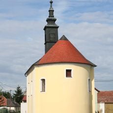
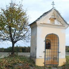
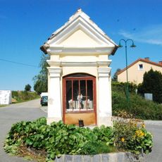
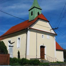
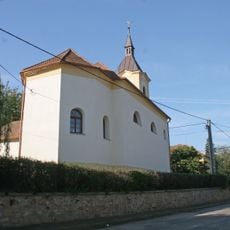
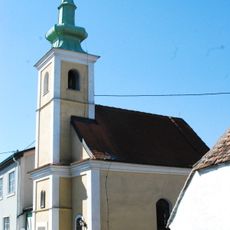
Hardegg, municipality in Hollabrunn District, Lower Austria, Austria
Location: Hollabrunn District
Elevation above the sea: 309 m
Shares border with: Šafov, Podmyče, Vranov nad Dyjí, Horní Břečkov, Lukov, Podmolí, Hnanice, Retzbach, Retz, Weitersfeld, Langau
Email: stadtgemeinde@hardegg.gv.at
Website: http://hardegg.gv.at
GPS coordinates: 48.85250,15.85889
Latest update: March 5, 2025 07:09
Hardegg Castle
202 m
National Park Thayatal
2.6 km
Schloss Ruegers
6.4 km
Burgruine Kaja
3.6 km
Schloss Karlslust
6.3 km
Nový Hrádek
3.9 km
Schloss Fronsburg
6.6 km
Niederfladnitz Schloss Niederfladnitz
6.8 km
Schloss Oberhöflein
10.4 km
Pfarrkirche Pleissing
5.5 km
Niederfladnitz Kirche
7 km
Fronsburger Bründl
6 km
Pfarrkirche Hardegg
233 m
Pfarrkirche Oberhöflein
10.5 km
Saints Peter and Paul Church
4.6 km
Church of Saint Giles
3.9 km
Hardegg Karner
254 m
Pfarrkirche hl. Martin, Weitersfeld
8.4 km
Church of Saint Bartholomew in Šafov
9.2 km
Ehem. Bürgerspital
8.5 km
Katholische Filialkirche heilige Katharina
11.1 km
Mallersbach Kapelle
4.4 km
Ortskapelle Oberfladnitz
8.4 km
Kurze Marter, Hardegg
1.3 km
Flur-/Wegkapelle
10.3 km
Ortskapelle
2.8 km
Chapel of Virgin Mary
7.1 km
Ortskapelle Rassingdorf
11 kmReviews
Visited this place? Tap the stars to rate it and share your experience / photos with the community! Try now! You can cancel it anytime.
Discover hidden gems everywhere you go!
From secret cafés to breathtaking viewpoints, skip the crowded tourist spots and find places that match your style. Our app makes it easy with voice search, smart filtering, route optimization, and insider tips from travelers worldwide. Download now for the complete mobile experience.
A unique approach to discovering new places❞
— Le Figaro
All the places worth exploring❞
— France Info
A tailor-made excursion in just a few clicks❞
— 20 Minutes