
Altmelon, municipality in Zwettl District, Lower Austria, Austria
Location: Zwettl District
Elevation above the sea: 880 m
Shares border with: Arbesbach, Schönbach, Bärnkopf, Sankt Georgen am Walde, Königswiesen
Email: gemeinde@altmelon.gv.at
Website: http://altmelon.at
GPS coordinates: 48.45000,14.96667
Latest update: March 11, 2025 08:38

Bear sanctuary Arbesbach
4.5 km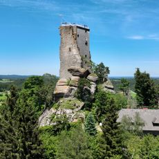
Arbesbach Castle
5 km
Schlesingerteich
7.8 km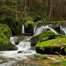
Lohnbachfall
5.6 km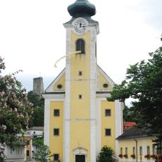
Pfarrkirche Arbesbach
5 km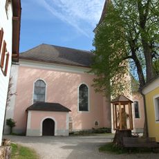
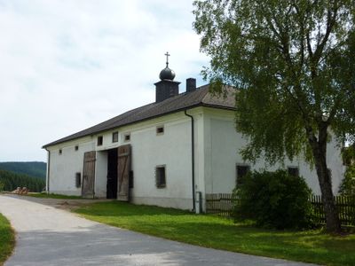
Pfarrkirche Altmelon
1.9 km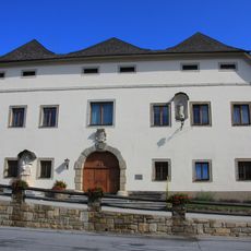
Manor house in Arbesbach
5 km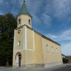
Pfarrkirche Bärnkopf
7.2 km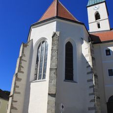
Church of the Presentation of Jesus at the Temple
5.3 km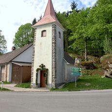
Ortskapelle Kleinpertenschlag
1.9 km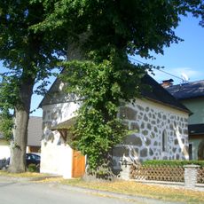
Wegkapelle
7.9 km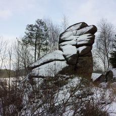
Granite rock "Vogelstein"
5.6 km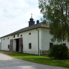
Dietrichsbach Wachtelhütte
4.2 km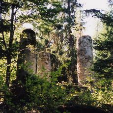
Gallow, Arbesbach
4.7 km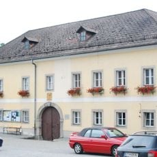
Pfarrhof
4.9 km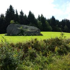
Big granite boulder near Altmelon
835 m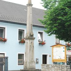
Pranger
5 km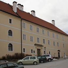
Volksschule/Pfarrhof, ehem. Kloster
5.3 km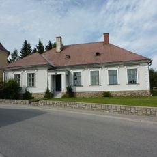
Pfarrhof Bärnkopf
7.2 km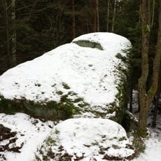
Steinernes Bründl ("Stone well")
5.3 km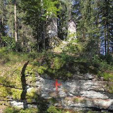
Rock formations on the Galgenberg
4.7 km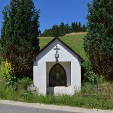
Kapelle an der Greiner Straße bei Linden
8.9 km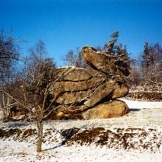
Group of granite boulders near Pretrobruck
5.9 km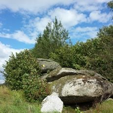
Balanced rock near Altmelon
1.5 km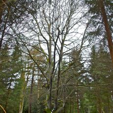
Blutbuche in Stifting
7 km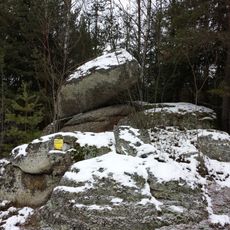
Balancing rock near Pretrobruck
6.2 km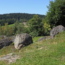
Boulder fields south of Federal road 124
5 km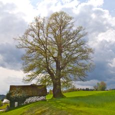
Linde in Haid
8.4 kmReviews
Visited this place? Tap the stars to rate it and share your experience / photos with the community! Try now! You can cancel it anytime.
Discover hidden gems everywhere you go!
From secret cafés to breathtaking viewpoints, skip the crowded tourist spots and find places that match your style. Our app makes it easy with voice search, smart filtering, route optimization, and insider tips from travelers worldwide. Download now for the complete mobile experience.

A unique approach to discovering new places❞
— Le Figaro
All the places worth exploring❞
— France Info
A tailor-made excursion in just a few clicks❞
— 20 Minutes