
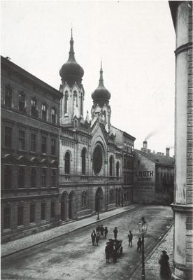
Brigittenauer Tempel, architectural structure
Location: Vienna
Inception: 1899
GPS coordinates: 48.23000,16.36810
Latest update: March 4, 2025 19:19
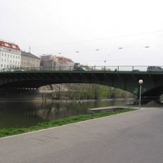
Friedensbrücke
363 m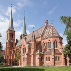
Brigittakirche
316 m
Augartenkirche
488 m
Hannovermarkt, Vienna
198 m
Erich Fried Realgymnasium
548 m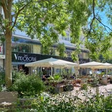
Vindobona
257 m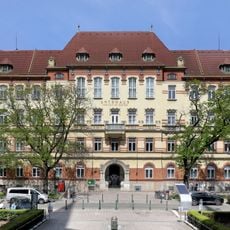
Amtshaus Brigittenau
401 m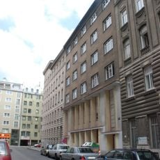
Synagoge Kaschlgasse
285 m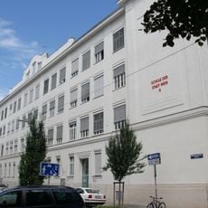
Volksschule Greiseneckergasse
489 m
Portals and mosaics of Anton-Schmid-Hof, Brigittenau
442 m
Apothekerhaus zur heiligen Brigitta
228 m
Anton-Schmid-Hof
442 m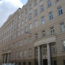
Unfallkrankenhaus Wien Lorenz Böhler - Direktionsgebäude
245 m
Manfred-Ackermann-Hof
430 m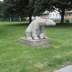
Sitzender Eisbär
337 m
Kommunaler Wohnbau, Großmann-Hof
409 m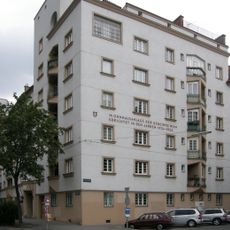
Sigmund-Freud-Hof
488 m
Wohnhausanlage der Gemeinde Wien Karl-Michal-Hof
430 m
Georg-Schmiedel-Hof, Vienna
71 m
Wohnhausanlage Brigittenauer Lände 48
254 m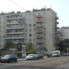
Johann-Böhm-Wohnhausanlage
330 m
Ehem. Stadtbahn – Teilbereich der heutigen U4 in der KG Alsergrund
414 m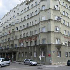
Kommunaler Wohnbau, Plocek-Hof
541 m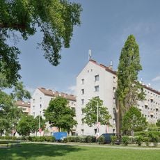
Wohnhausanlage Treustraße 61–69
554 m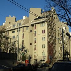
Wohnhausanlage Treustraße 58–60
318 m
Wohnhausanlage Pappenheimgasse 10–16
397 m
Miethaus Wallensteinplatz 3-4
252 m
Wien 9, Nordbergstraße 10
552 mReviews
Visited this place? Tap the stars to rate it and share your experience / photos with the community! Try now! You can cancel it anytime.
Discover hidden gems everywhere you go!
From secret cafés to breathtaking viewpoints, skip the crowded tourist spots and find places that match your style. Our app makes it easy with voice search, smart filtering, route optimization, and insider tips from travelers worldwide. Download now for the complete mobile experience.

A unique approach to discovering new places❞
— Le Figaro
All the places worth exploring❞
— France Info
A tailor-made excursion in just a few clicks❞
— 20 Minutes