Grein, municipality in Perg District, Upper Austria, Austria
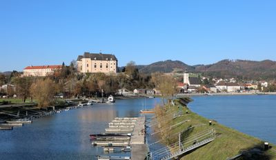
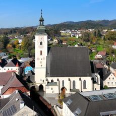
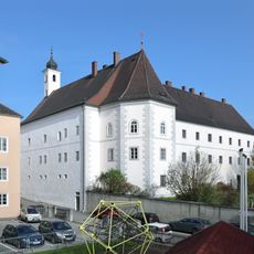
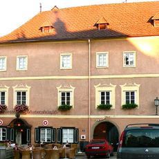
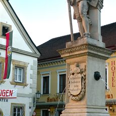
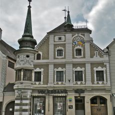
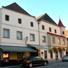
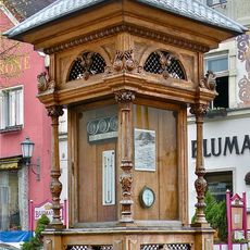
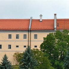
Grein is a small town with city rights situated on the Danube River in Austria, characterized by narrow lanes lined with old buildings and traditional wooden facades. The town center features a small cobblestone square surrounded by cafes, nestled between the river and rolling green hills.
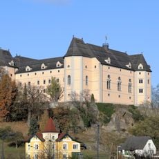
The town received city rights in medieval times and developed as an important trading center on the Danube. This early importance is reflected in the well-preserved medieval buildings that still shape the townscape today.
The name Grein originates from its location on a river bend in medieval times. Today you can see how locals and visitors move through narrow lanes and how traditional wooden facades shape the townscape, reflecting a deep connection to Danube trade and river life.
The town is accessible by car via nearby motorways and has train stations within reach offering connections from Linz and other cities. Well-maintained cycling paths along the Danube make travel easy and connect the town to larger trail networks.
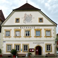
The town theater is Austria's oldest theater and still functions for performances today. Nearby, the Giessenbach Mill continues to operate with its large water wheel, grinding flour that is sometimes baked into fresh bread.
The community of curious travelers
AroundUs brings together thousands of curated places, local tips, and hidden gems, enriched daily by 60,000 contributors worldwide.