Leibnitz, Municipality and district capital in Styria, Austria
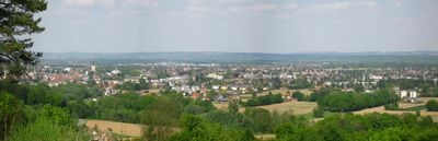
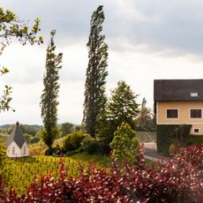
Leibnitz sits between the Mur and Sulm rivers in Styria and spans an area of vineyards, pumpkin fields, and agricultural land at roughly 275 meters elevation. The town connects to major Austrian cities through railway lines and the A9 motorway, offering direct access to Vienna and Slovenia.
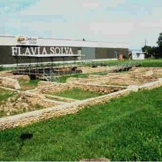
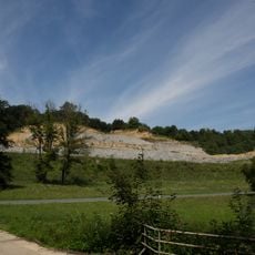
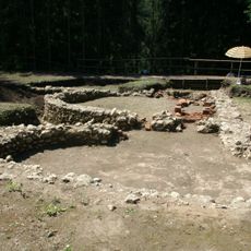
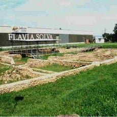
The settlement was first documented in 970 as Lipnizza under Emperor Otto the Great and grew from a Bavarian settlement into a major regional hub. Nearby, the archaeological site of Flavia Solva contains roads and walls from a Roman municipium that dates to the first century.
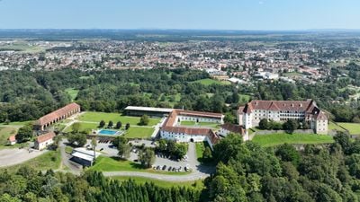
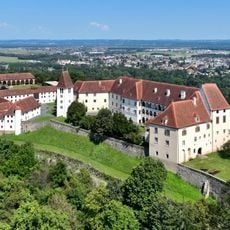
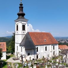
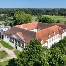
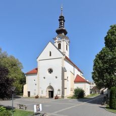
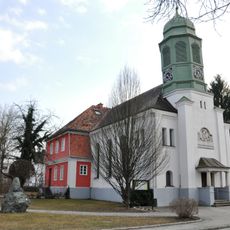
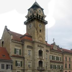
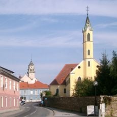
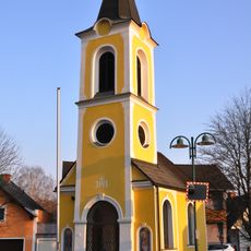
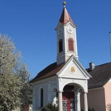
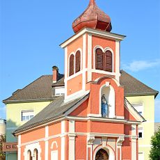
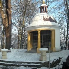
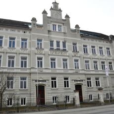
The main square displays traditional townhouses and churches, while Schloss Seggau incorporates Roman stones with relief carvings into its walls. These buildings shape the town's character and reflect different periods of its past.
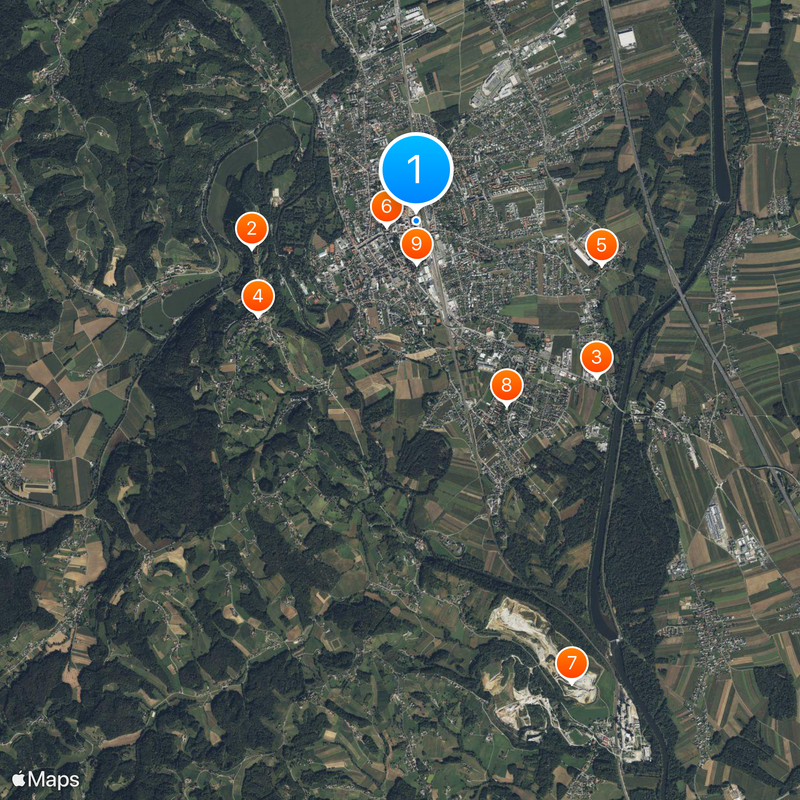
Visitors can explore different areas of the town on foot or by bicycle thanks to the flat terrain between the two rivers. The excellent transport links make it straightforward to visit surrounding wine regions and nearby attractions.
Flavia Solva, located just outside the center, holds not only ruins but also displays objects and finds that help visitors understand daily life during Roman rule. This often-overlooked site offers a window into a completely different era of regional history.
Location: Leibnitz District
Elevation above the sea: 270 m
Shares border with: Tillmitsch
Email: stadtgemeinde@leibnitz.at
Website: https://leibnitz.at
GPS coordinates: 46.78306,15.54500
Latest update: December 17, 2025 09:22
Schloss Seggau
1.7 km
Flavia Solva
2.4 km
Wallfahrtskirche Frauenberg, Leibnitz
1.9 km
Schloss Retzhof
1.9 km
Pfarrkirche Leibnitz
293 m
Steinbruch Retznei
4.9 km
Kath. Pfarrkirche Christus der Auferstandene
2.1 km
Evang. Pfarrkirche A.B. mit Pfarrhaus
428 m
Weingut Muster.Gamlitz
4.7 km
Rathaus Leibnitz
564 m
Kalvarienberg/Kreuzweg, Erste, Zweite, Dritte Stationskapelle, Figurengruppe
1.5 km
Kapuzinerkirche hl. Andreas
666 m
Ortskapelle Maria Osterwitz
3.6 km
Wallfahrtskirche Annabrunn
2.7 km
Ortskapelle
1.2 km
Ortskapelle
2.7 km
Ortskapelle
1.7 km
Friedhofsportal mit Immaculatastatue
1.9 km
Friedhofskapelle hl. Antonius / Kriegerdenkmal
1.9 km
Ortskapelle
5.4 km
Waldkapelle Maria Linden
1.5 km
Römische Villa Kreuzacker
5.2 km
Römerzeitliche Stadt und Gräberfelder Flavia Solva
1.3 km
Römerzeitliche Stadt und Gräberfelder Flavia Solva
1.7 km
Persönlichkeitsdenkmal Karl Morré
464 m
Schule
421 m
Figurenbildstock mit Sitzfigur Ecce Homo
1.2 km
Flavia Solva amphitheatre
2.5 kmVisited this place? Tap the stars to rate it and share your experience / photos with the community! Try now! You can cancel it anytime.
Discover hidden gems everywhere you go!
From secret cafés to breathtaking viewpoints, skip the crowded tourist spots and find places that match your style. Our app makes it easy with voice search, smart filtering, route optimization, and insider tips from travelers worldwide. Download now for the complete mobile experience.
A unique approach to discovering new places❞
— Le Figaro
All the places worth exploring❞
— France Info
A tailor-made excursion in just a few clicks❞
— 20 Minutes