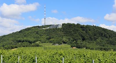
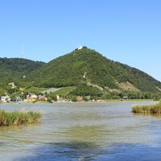
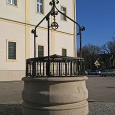
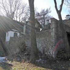
Kahlenberg, Mountain summit in Döbling district, Vienna, Austria.
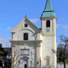
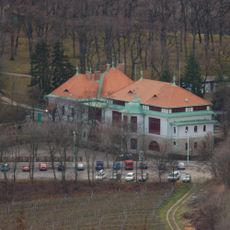
Kahlenberg is a mountain summit rising 484 meters above Vienna, offering views of the city, the Danube River, and the surrounding vineyards from viewing terraces. A church stands at the top where visitors arrive after climbing or taking the bus.
The mountain played a key role in 1683 when troops launched an attack from its slopes against forces threatening the city. This event became a turning point in Vienna's defense.
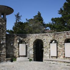
The church on the summit serves as a gathering place where visitors come to reflect on the city's past and its connection to significant historical moments. Those who climb up experience a space that holds spiritual and historical meaning for many people.
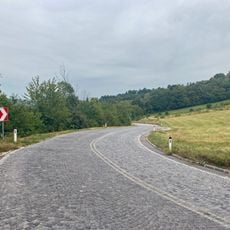
The location is easily reached by public transport or hiking trails, and visitors should prepare for changeable weather, especially during rainy months. Sturdy footwear is advisable if planning to walk.
Two notable thinkers met here in 1934 to exchange ideas for a major reference work intended to connect different fields of modern knowledge. This gathering was part of an international project focused on compiling scientific knowledge.
The community of curious travelers
AroundUs brings together thousands of curated places, local tips, and hidden gems, enriched daily by 60,000 contributors worldwide.