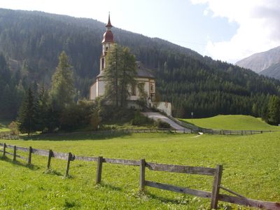
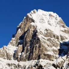
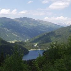
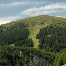
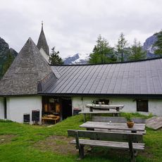
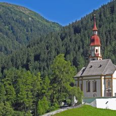
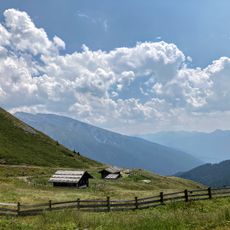
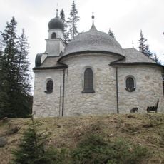
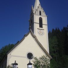
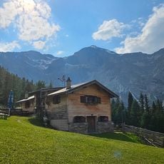
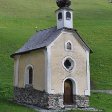
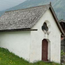
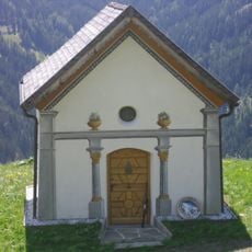
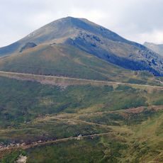
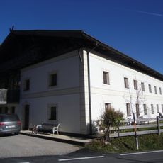
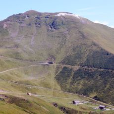
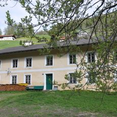
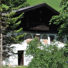
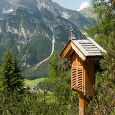
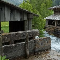
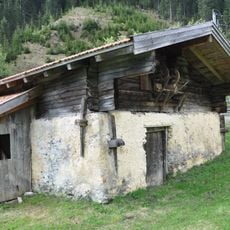
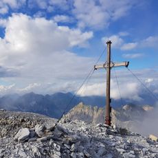
Obernberg am Brenner, municipality in Innsbruck-Land District, Tyrol, Austria
Location: Innsbruck-Land District
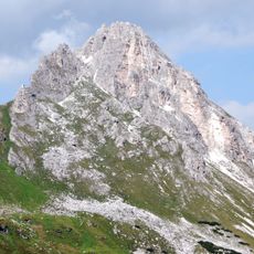
Elevation above the sea: 1,380 m
Shares border with: Brenner
Email: gemeinde@obernberg-brenner.tirol.gv.at
Website: http://obernberg.tirol.gv.at
GPS coordinates: 47.01639,11.41944
Latest update: March 12, 2025 02:51
Tribulaun di Fleres
7 km
Obernberger See
3 km
Sattelberg
4.5 km
Sankt Magdalena im Gschnitztal
4.6 km
St. Nikolaus (Obernberg am Brenner)
193 m
Wechselalm
4.2 km
Gargglerin
6.9 km
Seekapelle
2.8 km
St. Leonhard (Vinaders)
3.4 km
Steineralm
3.8 km
Alte Kirchensäge
1.1 km
Hofkapelle beim Simeler, Notburgakapelle
3 km
Haus-/Hofkapelle, Hofkapelle, Kapelle im Innertal, Tanler-Kapelle
1 km
Hofkapelle beim Paulerhof
3.4 km
Hoher Lorenzenberg
5 km
Bauernhaus Oberhaidegger
108 m
Kreuzjoch
4.2 km
Bauernhaus, Simelerhof
3 km
Bauernhaus Unterer Fürst
2.8 km
Frader-Mühle
167 m
Hanser-Kreuz
185 m
Widum
3.4 km
Kreuzweg
4.9 km
Kreuzweg, 14 Stationsbildstöcke
4.5 km
Mühle Außerthal, Michelsmühle
155 m
Mühle Simeler
3 km
Gipfelkreuz Gschnitzer Tribulaun
6.3 km
Hanser-Bildstock
120 mVisited this place? Tap the stars to rate it and share your experience / photos with the community! Try now! You can cancel it anytime.
Discover hidden gems everywhere you go!
From secret cafés to breathtaking viewpoints, skip the crowded tourist spots and find places that match your style. Our app makes it easy with voice search, smart filtering, route optimization, and insider tips from travelers worldwide. Download now for the complete mobile experience.
A unique approach to discovering new places❞
— Le Figaro
All the places worth exploring❞
— France Info
A tailor-made excursion in just a few clicks❞
— 20 Minutes