
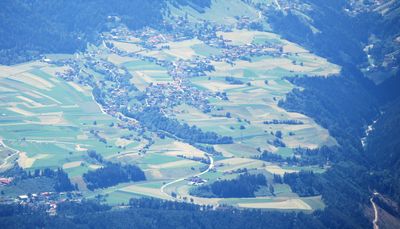
Grinzens, municipality in Innsbruck-Land District, Tyrol, Austria
Location: Innsbruck-Land District
Elevation above the sea: 945 m
Email: gemeinde@grinzens.tirol.gv.at
Website: http://grinzens.tirol.gv.at
GPS coordinates: 47.22694,11.25056
Latest update: March 12, 2025 12:07
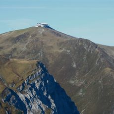
Hoadl
5.4 km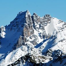
Schlicker Seespitze
9.2 km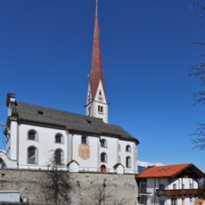
Parish Church of Axams
2.3 km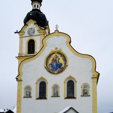
Pfarrkirche Oberperfuss
1.9 km
Große Ochsenwand
8.3 km
Hochtennspitze
6.9 km
Kleine Ochsenwand
7.8 km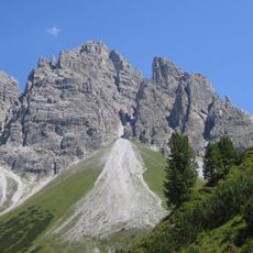
Steingrubenkogel
7.5 km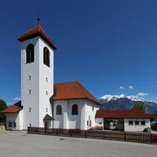
Pfarrkirche hl. Antonius, Grinzens
602 m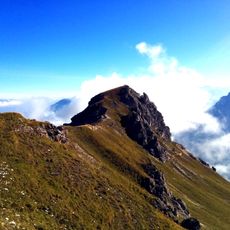
Niederer Burgstall (Kalkkögel)
10.6 km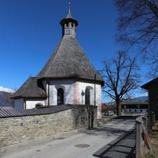
Lindenfriedhof Axams
2.2 km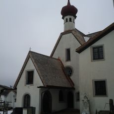
Karner, Wilgefortiskapelle, Kümmerniskapelle
2.3 km
Hofkapelle, Wollbell-Kapelle
2.6 km
Omeskapelle
2.6 km
Friedhof Axams
2.3 km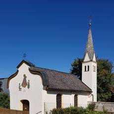
Baderbühelkapelle, Axams
2.6 km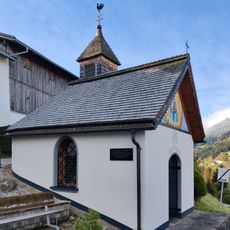
Tafel-Kapelle
1.6 km
Peter Anich-Museum
1.9 km
Bichl-Kapelle, Heiligkreuzkapelle
1 km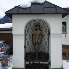
Gassler-Kapelle
1.9 km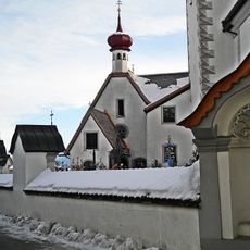
Kapelle hl. Michael, Nothelferkapelle
2.3 km
Widum mit Widumskapelle
2.3 km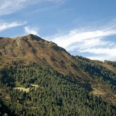
Salfains
2.8 km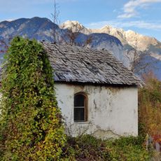
Kapelle Kristen
3.5 km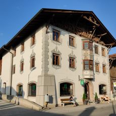
Einhof Funer-Lut, Axams
2.2 km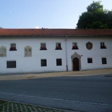
Einhof Kögger
2.2 km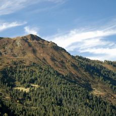
Grieskogel
4.3 km
Widenhöfl
2.2 kmVisited this place? Tap the stars to rate it and share your experience / photos with the community! Try now! You can cancel it anytime.
Discover hidden gems everywhere you go!
From secret cafés to breathtaking viewpoints, skip the crowded tourist spots and find places that match your style. Our app makes it easy with voice search, smart filtering, route optimization, and insider tips from travelers worldwide. Download now for the complete mobile experience.

A unique approach to discovering new places❞
— Le Figaro
All the places worth exploring❞
— France Info
A tailor-made excursion in just a few clicks❞
— 20 Minutes