Hochberg, Mountain summit in Eichenberg, Austria
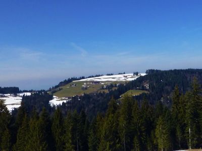
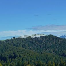
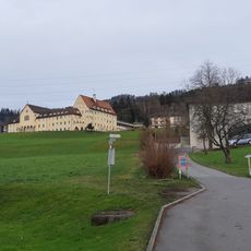
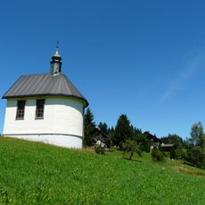
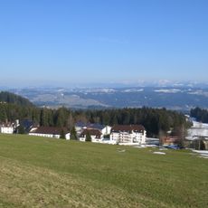
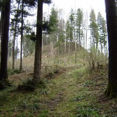
Hochberg is a mountain summit in the Allgäu Alps standing at 1069 meters, marked by rocky outcrops and steep terrain on its slopes. Marked trails from Eichenberg provide access to the peak, passing through varied Alpine landscape as you climb.
The mountain has served as a navigation landmark for people traveling through Vorarlberg since medieval trade routes were established in the region. Its location made it a recognizable point of reference for generations crossing the Alpine passes.
Local mountain guides pass down knowledge of Hochberg's terrain patterns and weather signals through generations, maintaining traditional Alpine navigation methods.
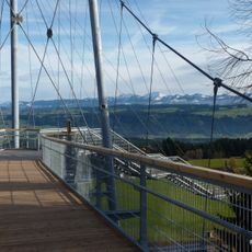
The ascent from Eichenberg takes roughly four hours under normal weather conditions along marked hiking routes. Proper footwear and weather awareness are important since mountain conditions can change quickly.
The mountain's position within the Pfänder Ridge creates distinct wind patterns that produce particular cloud formations above the peak. Visitors can observe these atmospheric patterns throughout the year, especially during settled weather.
The community of curious travelers
AroundUs brings together thousands of curated places, local tips, and hidden gems, enriched daily by 60,000 contributors worldwide.