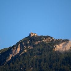
Hohes Brett, Mountain summit in Berchtesgaden Alps, Germany and Austria
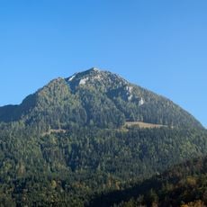
Hohes Brett rises to 2340 meters and features steep limestone cliffs with a flat rocky plateau near its summit. The mountain straddles the German-Austrian border and offers climbers access from both countries.
The name Hohes Brett, "High Plank", refers to the flat, rocky plateau of the summit area. The peak lies on the border between Bavaria and Salzburg, which runs across it; the German survey gives 2340 m above sea level, the Austrian 2338 m. The Torrener Joch below the summit, at 1731 m, separates the Göll massif from the Hagen Mountains.
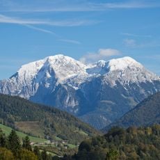
The name Hohes Brett means "High Plank", referring to the flat, rocky plateau at the summit. The border between Bavaria and Salzburg runs across the peak, so hikers pass between Germany and Austria on the summit itself. The plateau gives views of the Watzmann's east face, the Hagen Mountains and the Steinernes Meer.
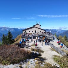
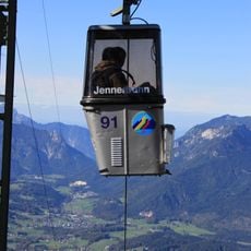
The normal route starts at the Jennerbahn top station and reaches the summit via the Carl-von-Stahl-Haus (1731 m), the steep but secured southern flank and the Jägerkreuz in just over 2 hours. From Hinterbrand the climb via Mitterkaser-Alm takes a good 3 hours; the Brettgabel variant is almost pathless and only sporadically marked. The ridge traverse over the Archenköpfe to the Hoher Göll requires sure-footedness and a head for heights.
The name "Hohes Brett" means "High Plank", referring to the flat, rocky plateau at the summit. From there the view takes in the east face of the Watzmann, the Hagen Mountains and the Steinernes Meer. The German survey gives the height as 2340 m, the Austrian as 2338 m.
The community of curious travelers
AroundUs brings together thousands of curated places, local tips, and hidden gems, enriched daily by 93,676 contributors worldwide.