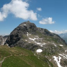
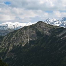
Walser Hammerspitze, Mountain peak at Bavaria and Vorarlberg border, Germany and Austria.
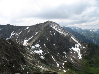
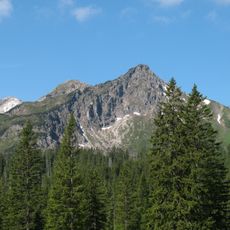
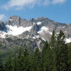
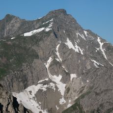
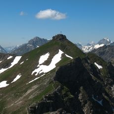
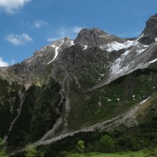
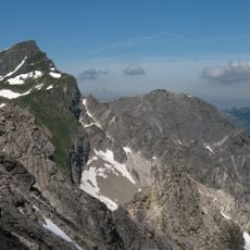
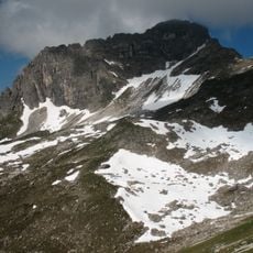
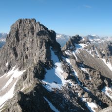
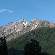
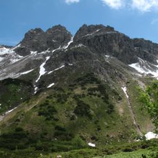
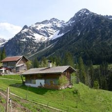
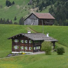
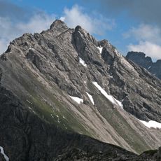
Walser Hammerspitze is a mountain peak on the border between Bavaria and Vorarlberg, rising to approximately 2,170 meters in elevation. The peak features steep rocky slopes and marked trails that lead to the summit from established starting points.
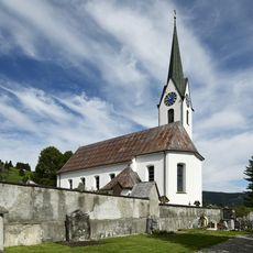
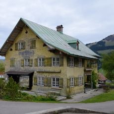
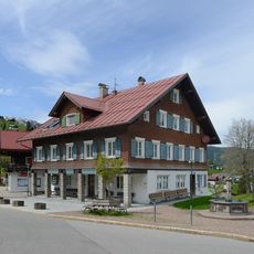
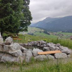
The peak received its name from the Walser people, a population group that settled in these Alpine regions during medieval migration movements. These settlers shaped the cultural and economic history of the border region over several centuries.
The name reflects the Walser people, a population group that settled in these Alpine regions during the Middle Ages. Visitors today use the mountain paths and experience the alpine traditions that remain visible in the local landscape.
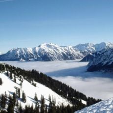
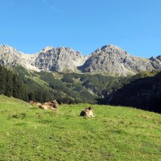
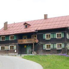
The peak can be accessed from both the German and Austrian sides through established hiking routes. The Fiderepasshütte offers accommodation and serves as a stopping point for hikers approaching from either side.
The peak displays a distinct geological formation where two tectonic plates converge, creating a natural boundary between Germany and Austria. This geological feature makes it a point of interest for visitors curious about the physical forces that shape the landscape.
The community of curious travelers
AroundUs brings together thousands of curated places, local tips, and hidden gems, enriched daily by 60,000 contributors worldwide.