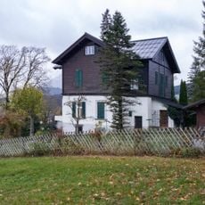
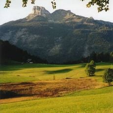
Loser Plateau, Mountain plateau in Salzkammergut region, Austria.
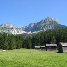
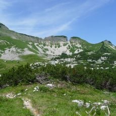
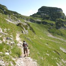
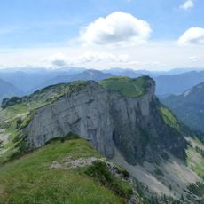
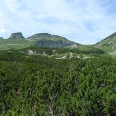
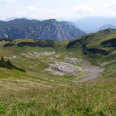
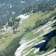
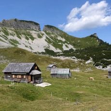
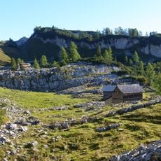
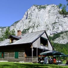
The Loser Plateau is a high mountain plateau in the Totes Gebirge range, sitting between 1500 and 1600 meters elevation. The terrain shows a karst landscape with limestone formations and views across the surrounding mountain ranges.
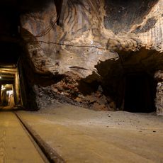
The plateau formed through geological processes that created an extensive limestone landscape with cave systems. During the Second World War, the nearby area held historical significance as a storage location.
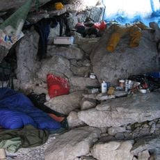
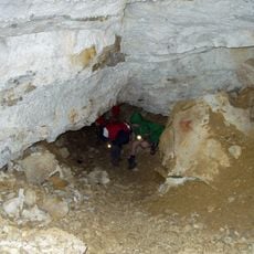
The plateau holds significance for speleologists and geological researchers, with over 230 documented cave systems throughout its limestone formations.
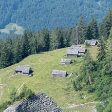
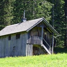
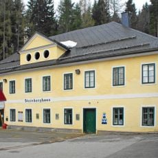
The plateau is reached via a toll road from Altaussee leading to a parking area at 1600 meters elevation. A self-service restaurant is located at the top, and the area is best explored on foot.
Below the surface lie more than 230 documented caves, including the Raucherkarhöhle, one of the world's longest cave systems. These caves make the plateau a key location for speleologists and geological research.
The community of curious travelers
AroundUs brings together thousands of curated places, local tips, and hidden gems, enriched daily by 60,000 contributors worldwide.