
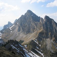
Hahlekopf, mountain in Austria
Location: Tyrol
Elevation above the sea: 1,758 m
GPS coordinates: 47.50933,10.66784
Latest update: March 21, 2025 05:00

Kellenspitze
3.1 km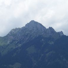
Gehrenspitze
1.4 km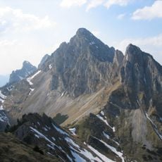
Babylonischer Turm
2.9 km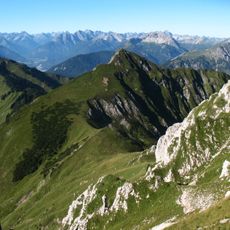
Schneid
2.5 km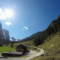
Musauer Alm
1.8 km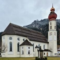
Pfarrkirche Wängle
3 km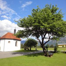
Kolomankapelle, Hinterbichl
2.9 km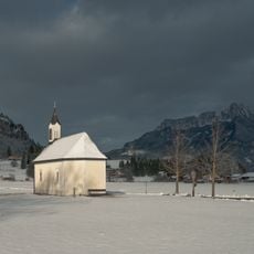
Ottilienkapelle, Lechaschau
3 km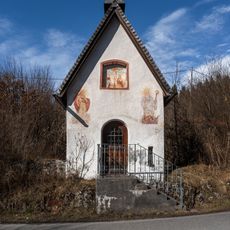
Martinskapelle, Lechaschau
3.1 km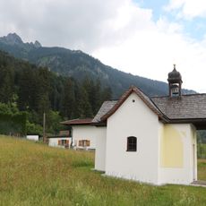
Ortskapelle Holz, Wängle
3.2 km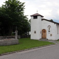
Ortskapelle Christus an der Geißelsäule, Pflach
3.3 km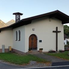
St. Joachim and Anna chapel
3 km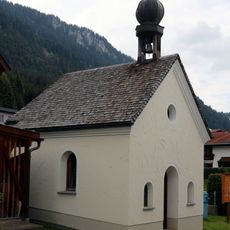
Ortskapelle Winkl, Wängle
2.9 km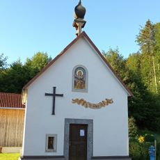
Saint Mary of Help chapel
2.9 km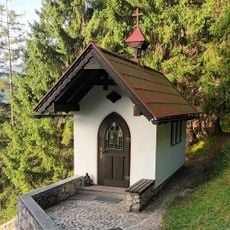
Costaries chapel
1.9 km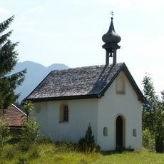
Mariae Heimsuchung
1.8 km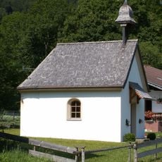
Hl. Antonius
1.8 km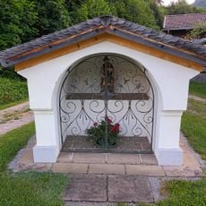
Nischenbildstock Unterpinswang 59
3.3 km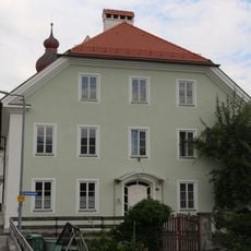
Widum Wängle
3 km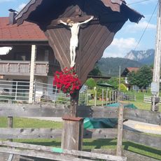
Wayside cross Musau-Platte
3 km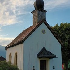
Mariahilfkapelle Musau
2.9 km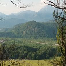
Siebeler
2.4 km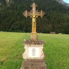
Wegkreuz Brandstatt, Musau
2 km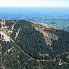
Plattjoch
2.3 km
Brandstatt 37
2 km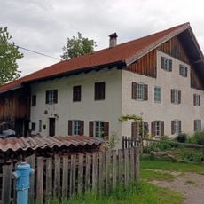
Brandstatt 33
1.9 km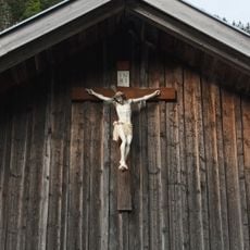
Crucifix Roßschläg 38
1.8 km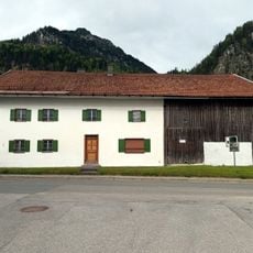
Brandstatt 35
1.8 kmReviews
Visited this place? Tap the stars to rate it and share your experience / photos with the community! Try now! You can cancel it anytime.
Discover hidden gems everywhere you go!
From secret cafés to breathtaking viewpoints, skip the crowded tourist spots and find places that match your style. Our app makes it easy with voice search, smart filtering, route optimization, and insider tips from travelers worldwide. Download now for the complete mobile experience.

A unique approach to discovering new places❞
— Le Figaro
All the places worth exploring❞
— France Info
A tailor-made excursion in just a few clicks❞
— 20 Minutes