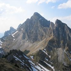
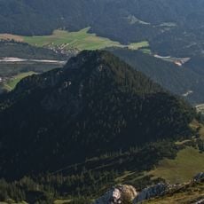
Schneid, mountain in the Tannheimer Berge in Tyrol
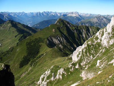
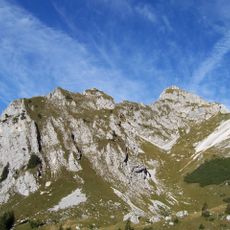
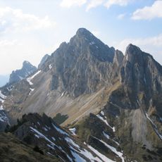
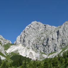
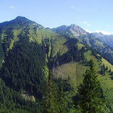
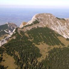
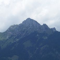
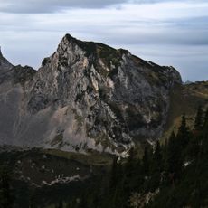
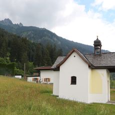
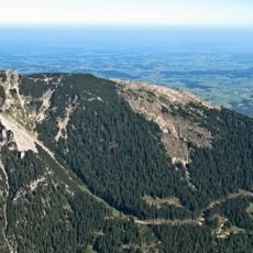
The Schneid is a mountain in the Allgäu Alps that rises over 2,000 meters above sea level. It consists of weathered limestone rock and forms the end of a short ridge extending from nearby peaks, with steep slopes dropping sharply into the surrounding valleys.
The name first appeared in written maps in the late 1800s during a period when the region was being surveyed more intensively. The rock layers reveal geological shifts caused by ancient seas and tectonic processes that shaped this landscape over millions of years.
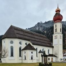
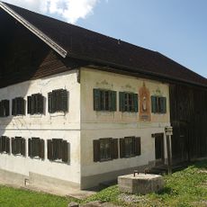
The name Schneid comes from the local Bavarian dialect, where it refers to a steep or sharp ridge that locals have recognized in the landscape. Over generations, this mountain has become part of local identity and appears in regional stories and traditions.
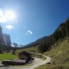
The most common approach starts from the nearby town of Reutte using a funicular railway and marked trails through the Tiefjoch pass to the southwest slope. The final summit requires good balance and secure footing on narrow paths and rocky steps, especially in wet conditions, while winter visitors use the valleys for ski touring.
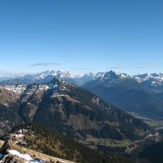
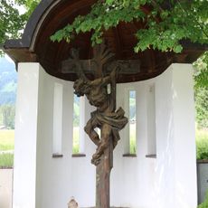
The simple cross at the summit serves as a marker where many visitors pause to enjoy the sweeping views of surrounding mountain peaks and valleys. Beyond marking the highest point, hikers often experience it as a quiet place for reflection and connection with the alpine landscape.
The community of curious travelers
AroundUs brings together thousands of curated places, local tips, and hidden gems, enriched daily by 60,000 contributors worldwide.