Gimpel, Mountain summit in Tyrol, Austria
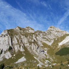
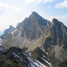
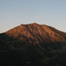
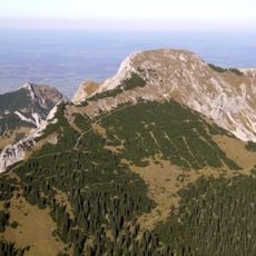
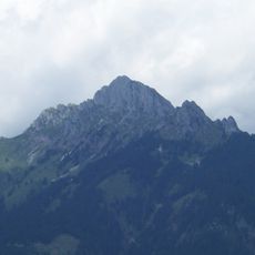
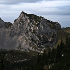
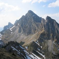
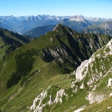
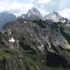
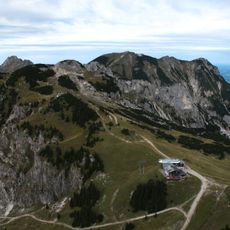
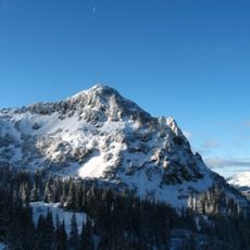
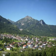
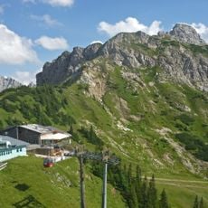
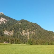
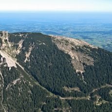
The Gimpel is a 2,173-metre peak of Wetterstein limestone in the Tannheim Mountains above Nesselwängle. Its summit area is bounded by rock walls of about 300 m to the south and about 650 m to the north. The Judenscharte, a high col to the west, links it with the Rote Flüh; the Nesselwängler Scharte (1,993 m) lies to the east.
The mountain was first documented climbed via the west ridge in 1896. This early ascent marked the start of organized climbing in this part of the Allgäu Alps.
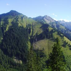
The name Gimpel comes from the Gimpelalpe alp in the "Mulde" hollow, from Celtic comba. The south face holds about 20 climbing routes, and the south-east spur about 15, from the grade II normal route to the Paartaler Pfeiler at UIAA 7+. The Zwerchwand next door has around a dozen routes, including the popular Till Ann (UIAA 5-).
The mountain can be reached through several established routes, including the main path along the South Flank. This route is moderate in difficulty and requires basic climbing skills plus proper alpine equipment.
In 1990 Toni Freudig discovered a cave system in the south face, known as the Gimpel Labyrinth. It lies in Wetterstein limestone, the rock that forms the whole peak, and is not a visible feature of the climbing routes.
The community of curious travelers
AroundUs brings together thousands of curated places, local tips, and hidden gems, enriched daily by 93,679 contributors worldwide.