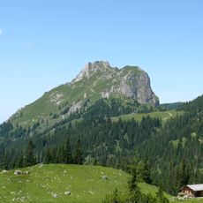
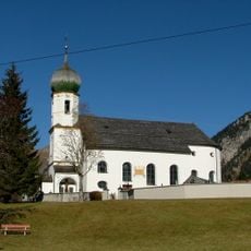
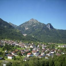
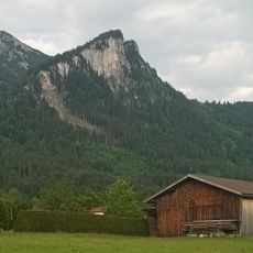
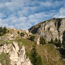
Brentenjoch, Mountain summit in Vils, Austria.
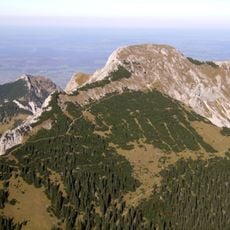
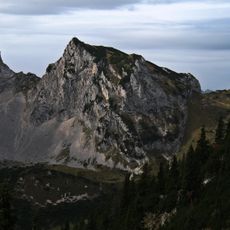
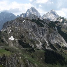
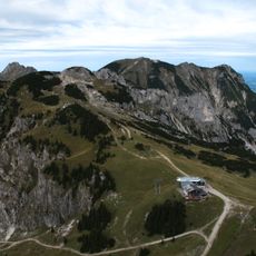
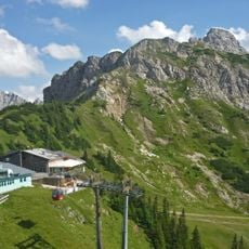
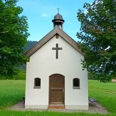
Brentenjoch is a mountain in the Tannheim range rising to about 2000 meters elevation. Numerous trails wind through alpine meadows and forest areas on its slopes, with a historic hut near the summit providing shelter for those making the ascent.
The peak was originally known as Roßberg until official documents from 1561 first recorded its current name. This change in designation reflects the long history of human settlement and exploration in this mountain region.
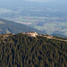
The mountain hut near the summit serves as a gathering point where hikers stop for refreshments and rest during their trek. This shelter has become a natural landmark on the route for those crossing the surrounding ridges.
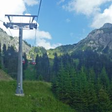
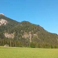
Start your hike from the parking area at Vilser Alm where trail access begins. Come prepared for a demanding mountain hike, allowing enough daylight and bringing proper equipment for changing weather.
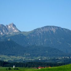
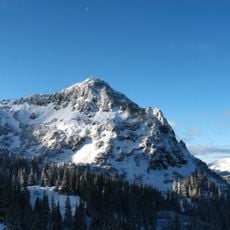
The northeast ridge connects to a secondary peak at approximately 1963 meters, creating a natural dividing line between different hiking zones. This geographical feature allows experienced hikers to explore varied routes with distinct difficulty levels on the same mountain.
The community of curious travelers
AroundUs brings together thousands of curated places, local tips, and hidden gems, enriched daily by 60,000 contributors worldwide.