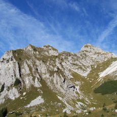
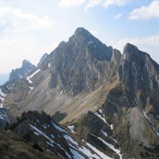
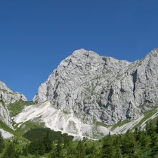
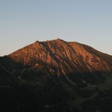
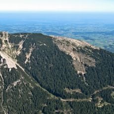
Schartschrofen, Mountain summit in Tyrol, Austria
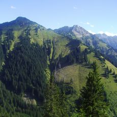
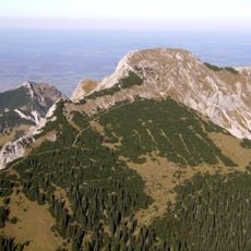
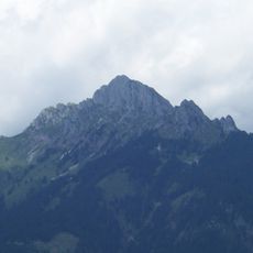
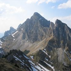
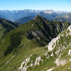
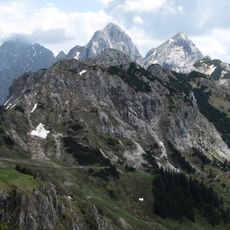
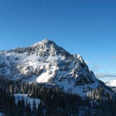
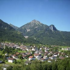
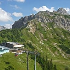
The Schartschrofen is a rocky summit, 1,968 m high, in the Tannheim Mountains, a sub-group of the Allgäu Alps. It lies northwest of the Rote Flüh and south of the Füssener Jöchl col. Two waymarked paths lead to the top.
The sources record no historical events, dates or figures for the Schartschrofen; it is documented as a 1,968 m sub-peak of the Rote Flüh in the Tannheim Mountains. Its two waymarked routes are described in the Alpine Club Guide by Dieter Seibert (2004) and in Eugen E. Hüsler's Klettersteigatlas Alpen (6th edition, 2005).
The southeastern ridge is climbed by the Friedberger Klettersteig, a protected via ferrata named after the Friedberg section of the German Alpine Club. Its steel cables run the length of the 150-metre arête before crossing into the south flank and finishing up a gully to the summit.
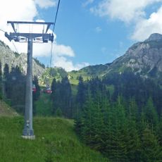
The summit can be reached via two marked hiking trails, with the cable car from Grän to Füssener Jöchl offering a good starting point. Conditions change with the seasons and weather, so proper footwear and plenty of water are important for the ascent.
The Friedberger Klettersteig is a via ferrata secured with steel cable along its whole length. It climbs the 150-metre southeastern arête, follows the ridge, then crosses into the south flank and finishes up a gully to the summit. It is the second of the two waymarked routes to the top.
The community of curious travelers
AroundUs brings together thousands of curated places, local tips, and hidden gems, enriched daily by 94,248 contributors worldwide.