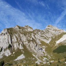
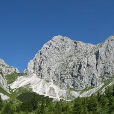
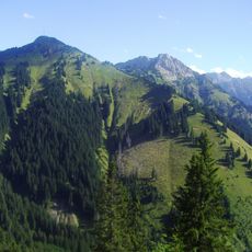
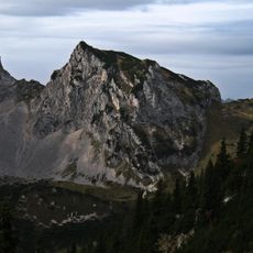
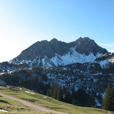
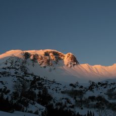
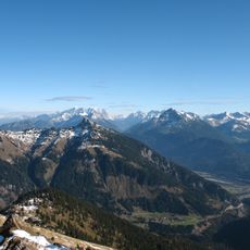
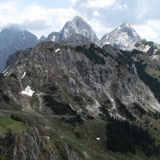
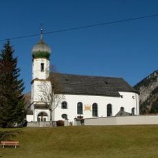
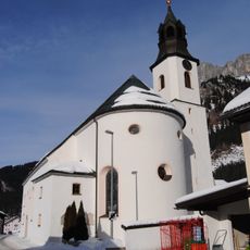
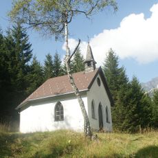
Krinnenspitze, Alpine summit in Nesselwängle, Austria
Krinnenspitze is a 2,000-metre summit in the Allgäu Alps, standing entirely within the municipality of Nesselwängle in Tyrol. Its peak consists of Hauptdolomit limestone resting on Lias Fleckenmergel. The mountain rises above the Strindenbach valley to the west, the Tannheimer Tal to the north and the Weißenbach valley to the south, with the Haldensee lake at its northern foot.
The mountain routes around Krinnenspitze served herders and farmers as traditional paths between alpine pastures. These trails connected valley communities to summer grazing lands over many generations.
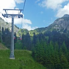
The name Krinnenspitze comes from the Alpe Krinnen on the north side, recorded in 1769, and from the old High German word krinna for a groove or channel, borrowed from Rhaeto-Romance crēnna. The mountain first appears as Rinnen Spitz in Peter Anich's Atlas Tyrolensis of 1774. The Krinnenalpe chairlift station on the north side serves as a base for climbers.
The hiking route to the summit starts from the Nesselwängle lift parking area and covers about nine kilometers with roughly 860 meters of elevation gain. Hikers should wear sturdy shoes and bring plenty of water, as the trail is demanding and offers little shade.
During summer months, the mountain slopes fill with fields of Alpine roses that look like natural gardens in full bloom. This sea of flowers makes the climb to the summit particularly colorful during that season.
The community of curious travelers
AroundUs brings together thousands of curated places, local tips, and hidden gems, enriched daily by 93,686 contributors worldwide.