
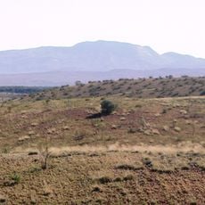
Red Bluff, mountain in Northern Territory, Australia
Location: Northern Territory
GPS coordinates: -19.54284,133.96771
Latest update: June 19, 2025 08:27
Mount Zeil
459.4 km
Boodjamulla (Lawn Hill) National Park
459.7 km
Boxhole crater
364.8 km
Old Telegraph Station
459.8 km
The Residency, Alice Springs
462.7 km
Alcoota
372.3 km
Cape Crawford
368.6 km
Anzac Hill
462.3 km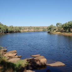
Davenport Murchison National Park
178.4 km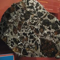
Huckitta
365.8 km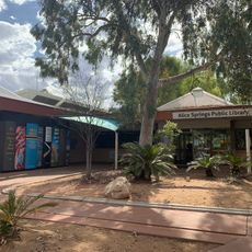
Alice Springs Public Library
463 km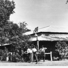
Stuart Arms Hotel
462.7 km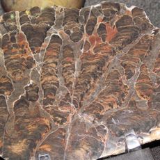
Bitter Springs Group
448.1 km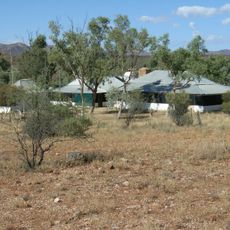
Hamilton Downs Station
459.7 km
Central Australian Aviation Museum
463.2 km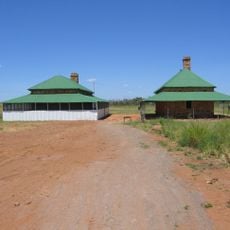
Tennant Creek Telegraph Station
27.4 km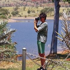
Lake Mary Ann
26.7 km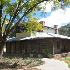
Adelaide House
462.8 km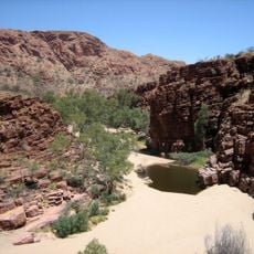
Trephina Gorge Nature Park
446.1 km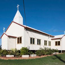
Church of Christ the King
25.8 km
Barkly Work Camp
29 km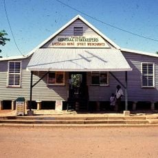
Freckleton's Stores, Camooweal
436.9 km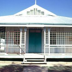
Community Hall
437.2 km
Pioneer Theatre
462.8 km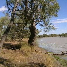
Hodgkinson's Marked Tree
435.1 km
Karlu Karlu / Devils Marbles Conservation Reserve
118.2 km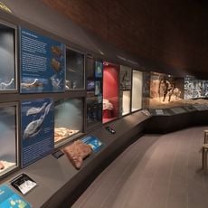
Museum of Central Australia & Strehlow Research Center
463 km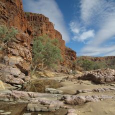
Ruby Gap Nature Park
454 kmReviews
Visited this place? Tap the stars to rate it and share your experience / photos with the community! Try now! You can cancel it anytime.
Discover hidden gems everywhere you go!
From secret cafés to breathtaking viewpoints, skip the crowded tourist spots and find places that match your style. Our app makes it easy with voice search, smart filtering, route optimization, and insider tips from travelers worldwide. Download now for the complete mobile experience.

A unique approach to discovering new places❞
— Le Figaro
All the places worth exploring❞
— France Info
A tailor-made excursion in just a few clicks❞
— 20 Minutes