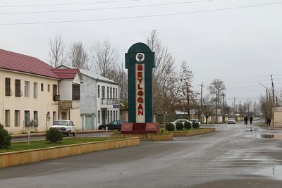
Beylagan District, Administrative district in Mil-Mughan region, Azerbaijan
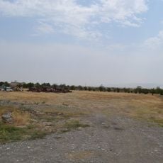
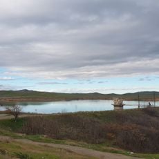
Beylagan District is an administrative division in the Mil-Mughan region located between the Kura and Aras rivers, covering an area of approximately 1,130 square kilometers. The terrain is relatively flat, and road networks connect it to neighboring regions throughout Azerbaijan.
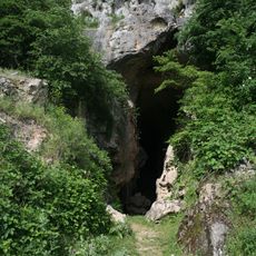
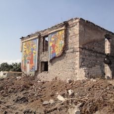
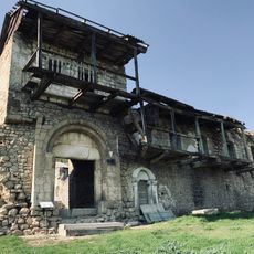
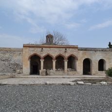
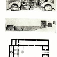
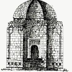
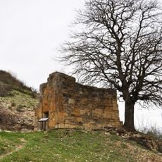
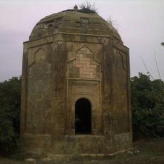
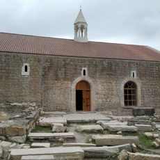
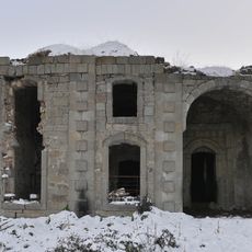
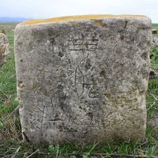
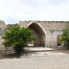
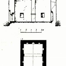
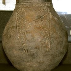
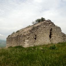
The district served as a military center called Paytakaran during the sixth and seventh centuries and contains remnants of the Oren-kala settlement from that period. These ancient structures reveal the strategic importance this place held in the region.
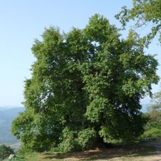
The area preserves farming traditions that have shaped life here for generations, visible in how locals work the land and manage their crops. Local markets display regional products and reflect the agricultural identity central to the community.
The area is easily accessible through established road networks connecting it to other Azerbaijani municipalities and facilitating movement across the region. Visitors should expect transportation infrastructure designed for vehicles, as distances between settlements tend to be considerable.
The majority of the district's land is devoted to farming, with significant portions dedicated to grain, cotton, and dairy production that defines the regional economy. This agricultural focus shapes how the landscape appears and functions for those living and working there.
The community of curious travelers
AroundUs brings together thousands of curated places, local tips, and hidden gems, enriched daily by 60,000 contributors worldwide.