
Mijatova Jama, Höhle in Bosnien und Herzegowina
Location: Federation of Bosnia and Herzegovina
Elevation above the sea: 1,859 m
GPS coordinates: 43.65478,17.45339
Latest update: June 5, 2025 08:05
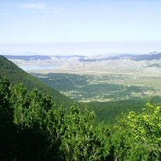
Blidinje Nature Park
6.6 km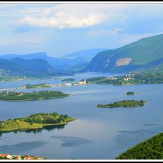
Rama Lake
17.3 km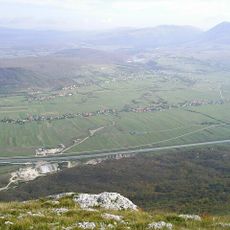
Duvno field
16.9 km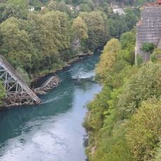
Die Brücke in Jablanica
24.9 km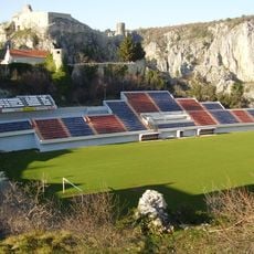
Stadion Gospin dolac
29.9 km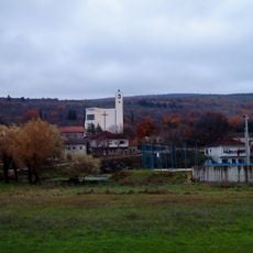
Donji Vinjani
28.9 km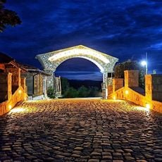
Eco selo Grabovica
29.8 km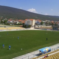
Mokri Dolac Stadium
23 km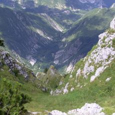
Drežnica Valley
23 km
Topana
29.9 km
Dugo polje
7.1 km
Pločno
10.3 km
Memorial Complex Neretva Battle
24.5 km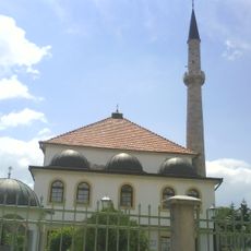
Džudža Džafer-bey Kopčić mosque in Tomislavgrad
18.9 km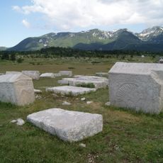
Dugopolje necropolis
7.5 km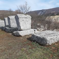
Ričina necropolis
22.7 km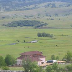
Galečka Ćuprija
28.7 km
Šćit
17.4 km
Necropolis of Ravanjska Vrata
25.8 km
Plocno
10.3 km
Virgin Mary Church
22.3 km
Église du Sacré-Cœur-de-Jésus de Donji Crnač
27.4 km
St. Elijah Church
7.7 km
Church of St. Peter and St. Paul in Sovići
29.9 km
Nécropole de Risovac
10.2 km
St. Nikola Tavelić church
19.3 km
Église de la Nativité-de-la-Sainte-Vierge de Donja Britvica
25.6 km
St. Stephen church in Gorica
29.3 kmReviews
Visited this place? Tap the stars to rate it and share your experience / photos with the community! Try now! You can cancel it anytime.
Discover hidden gems everywhere you go!
From secret cafés to breathtaking viewpoints, skip the crowded tourist spots and find places that match your style. Our app makes it easy with voice search, smart filtering, route optimization, and insider tips from travelers worldwide. Download now for the complete mobile experience.

A unique approach to discovering new places❞
— Le Figaro
All the places worth exploring❞
— France Info
A tailor-made excursion in just a few clicks❞
— 20 Minutes