Enable Location

We need your location to show you interesting places around you

Discover nearby places

Find interesting locations and hidden gems around you

Precise directions

Get accurate directions and distances to places

Your location is never shared with other users. It's only used when you tap the location button.

Khagrachari District

Log in to your account

Start exploring — it's free

Trusted by 62,974 travelers worldwide

Continue with Google
Continue with Apple
or

We will send you a code to connect

By continuing, you accept our Terms and Conditions and our Privacy Policy

Check your inbox

We've sent a pincode in your inbox. Please enter the code below.

Discussion Reviews 1 Photos
21.8k Popularity

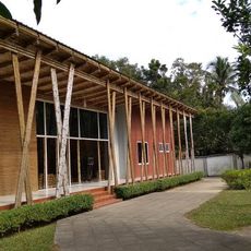
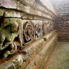
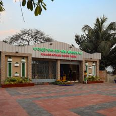
Khagrachari District, Administrative district in Chattogram Division, Bangladesh

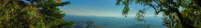
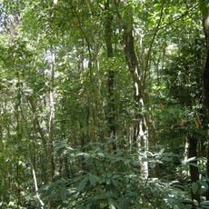
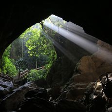
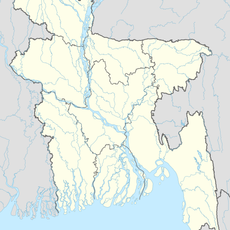
Khagrachari is an administrative district in Chattogram Division characterized by hills and valleys with mountain ranges such as Golamoon and Lutiban. The area covers approximately 2500 square kilometers and shares a border with India's Tripura state.

The British took control of the Chittagong Hill Tracts in 1760 and allowed local chiefs to continue governing for a period. In 1860, a formal administrative system replaced the earlier arrangement.

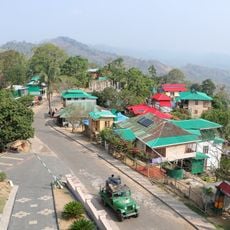
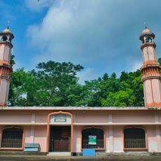
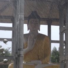
Chakma, Marma, and Tripura peoples live throughout the district, each maintaining their own languages, customs, and religious practices. Visitors notice this diversity in villages where traditional crafts are still made and different festivals are celebrated by neighbors.

The district is governed by the Khagrachari Hill District Council, which oversees local development and requires permits for certain activities. Visitors should inquire about current requirements before arriving, as regulations may vary depending on the specific area.

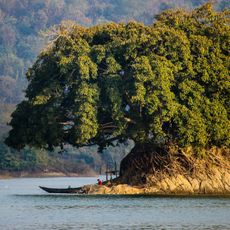
The name comes from the banks of the Chengi River, where catkin plants once grew in abundance. It combines the local term 'Khagra' for the plant with 'Chhara' meaning stream or watercourse.

The community of curious travelers

AroundUs brings together thousands of curated places, local tips, and hidden gems, enriched daily by 60,000 contributors worldwide.

Start exploring
Capital city
Khagrachari
Shares border with
Rangamati District, Chattogram District
GPS coordinates
23.04170,91.99440
Latest update
December 22, 2025 13:18
Reviews
Share your experience

No review yet

Discussions
Start a discussion...

No discussion yet

« Khagrachari District - Administrative district in Chattogram Division, Bangladesh » is provided by Around Us (aroundus.com). Images and texts are derived from Wikimedia project under a Creative Commons license. You are allowed to copy, distribute, and modify copies of this page, under the conditions set by the license, as long as this note is clearly visible.

Discover hidden gems everywhere you go!

From secret cafés to breathtaking viewpoints, skip the crowded tourist spots and find places that match your style. Our app makes it easy with voice search, smart filtering, route optimization, and insider tips from travelers worldwide. Download now for the complete mobile experience.

Around Us App Screenshot

A unique approach to discovering new places

Le Figaro

All the places worth exploring

France Info

A tailor-made excursion in just a few clicks

20 Minutes

Around Us
Travel Guide & Maps
Download

Send to your phone

QR Code
1

Open the camera app on your mobile.

2

Point at the QR code with your camera. A notification will appear.

3

Tap the notification to open the link.