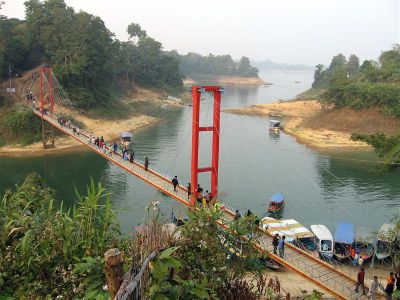
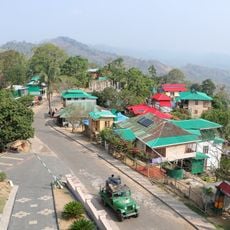
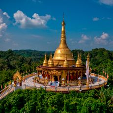
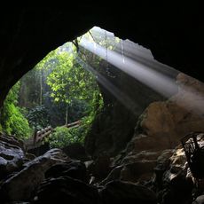
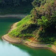
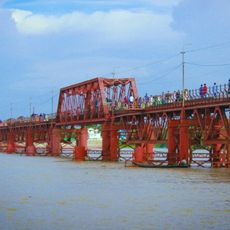
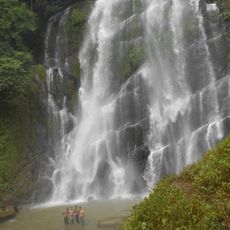
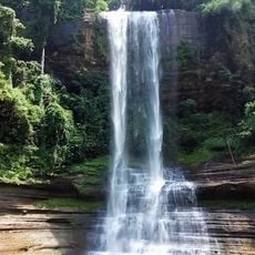
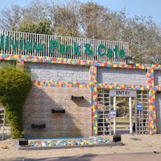
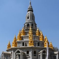
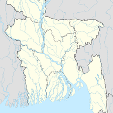
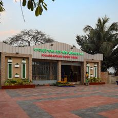
Rangamati Hill District, district in Bangladesh's Chittagong Division
Location: Chattogram Division
Capital city: Rangamati
Elevation above the sea: 14 m
Shares border with: Bandarban District, Khagrachari District, Chattogram District
Website: http://rangamati.gov.bd
GPS coordinates: 22.63333,92.20000
Latest update: March 3, 2025 01:53
Dampa Tiger Reserve
88.3 km
Kaptai Lake
15.6 km
Buddha Dhatu Jadi
45.7 km
Bangladesh Sweden Polytechnic Institute
14.3 km
Alutila Cave
56.5 km
Kaptai National Park
14.6 km
Kalurghat Bridge
41.5 km
Jadipai waterfall
87 km
Dhuppani waterfall
32.7 km
Love Point, Bangladesh
906 m
Pablakhali Wildlife Sanctuary
59.9 km
Banshkhali Eco-Park
75.1 km
Chandpur Belgaon Tea Garden
61.2 km
Sheikh Russel Aviary and Eco-Park
17.6 km
Kadurkhil High School Mrith Bhaban
39.5 km
Hillview Park & Cafe
16.2 km
Rama Zadi Temple
49 km
Khagrachhari (subdistrito)
50.1 km
Khagrachari Hill District Council Horticulture Park
56.9 km
Raozan Monument
31.5 km
Swaran
45.5 km
World Peace Pagoda
45 km
Rowangghhari
48.9 km
Dr. A R Mallick building
44.6 km
Shaila Prapat
53.7 km
A. F. Rahman Hall
45.5 km
Hanging Bridge
1.4 kmReviews
Visited this place? Tap the stars to rate it and share your experience / photos with the community! Try now! You can cancel it anytime.
Discover hidden gems everywhere you go!
From secret cafés to breathtaking viewpoints, skip the crowded tourist spots and find places that match your style. Our app makes it easy with voice search, smart filtering, route optimization, and insider tips from travelers worldwide. Download now for the complete mobile experience.
A unique approach to discovering new places❞
— Le Figaro
All the places worth exploring❞
— France Info
A tailor-made excursion in just a few clicks❞
— 20 Minutes