Enable Location

We need your location to show you interesting places around you

Discover nearby places

Find interesting locations and hidden gems around you

Precise directions

Get accurate directions and distances to places

Your location is never shared with other users. It's only used when you tap the location button.

Log in to your account

Start exploring — it's free

Trusted by 61,509 travelers worldwide

Continue with Google
Continue with Apple
or

We will send you a code to connect

By continuing, you accept our Terms and Conditions and our Privacy Policy

Check your inbox

We've sent a pincode in your inbox. Please enter the code below.

Kurigram District, District in Rangpur Division, Bangladesh

Description

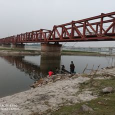
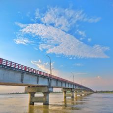
Kurigram District is an administrative area in northern Bangladesh bordered by India and traversed by major rivers including the Brahmaputra and Jamuna. The district comprises nine subdivisions that together contain numerous villages and settlements spread across the landscape.

History

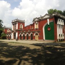
The region was historically part of ancient kingdoms and territories before coming under British administration as a separate unit. It became a full district in its modern form during the 1980s after Bangladesh gained independence.

Culture

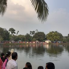
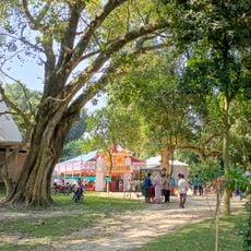
The district remains tied to agricultural traditions, with farming shaping how people spend their days and structure their communities. Local music forms like Bhawaiya songs reflect the rhythms and concerns of rural life in this region.

Practical

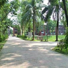
The district has a main city that serves as its administrative center, making it a logical starting point for understanding the region. Getting around requires using local transport options that connect the different subdivisions and villages.

Did you know?

The name comes from an ancient language and literally means twenty villages, reflecting how the area was settled in the past. This etymology offers a window into the linguistic history of the region.

Location
Inception
1984
Capital city
Kurigram
Elevation above the sea
31 m
Shares border with
Lalmonirhat District, Rangpur District, Gaibandha District, Jamalpur District
GPS coordinates
25.75000,89.66000
Latest update
December 22, 2025 21:35

AroundUs brings together thousands of curated places, local tips, and hidden gems, enriched daily by 60,000 contributors worldwide. Discover all places nearby (Rangpur Division).

« Kurigram District - District in Rangpur Division, Bangladesh » is provided by Around Us (aroundus.com). Images and texts are derived from Wikimedia project under a Creative Commons license. You are allowed to copy, distribute, and modify copies of this page, under the conditions set by the license, as long as this note is clearly visible.

Discover hidden gems everywhere you go!

From secret cafés to breathtaking viewpoints, skip the crowded tourist spots and find places that match your style. Our app makes it easy with voice search, smart filtering, route optimization, and insider tips from travelers worldwide. Download now for the complete mobile experience.

Around Us App Screenshot

A unique approach to discovering new places

Le Figaro

All the places worth exploring

France Info

A tailor-made excursion in just a few clicks

20 Minutes

Around Us
Travel Guide & Maps
Download

Send to your phone

QR Code
1

Open the camera app on your mobile.

2

Point at the QR code with your camera. A notification will appear.

3

Tap the notification to open the link.