Enable Location

We need your location to show you interesting places around you

Discover nearby places

Find interesting locations and hidden gems around you

Precise directions

Get accurate directions and distances to places

Your location is never shared with other users. It's only used when you tap the location button.

Rangpur Division

Log in to your account

Start exploring — it's free

Trusted by 63,000 travelers worldwide

Continue with Google
Continue with Apple
or

We will send you a code to connect

By continuing, you accept our Terms and Conditions and our Privacy Policy

Check your inbox

We've sent a pincode in your inbox. Please enter the code below.

Discussion Reviews 6 Photos
44.3k Popularity

Rangpur Division, Administrative division in northern Bangladesh

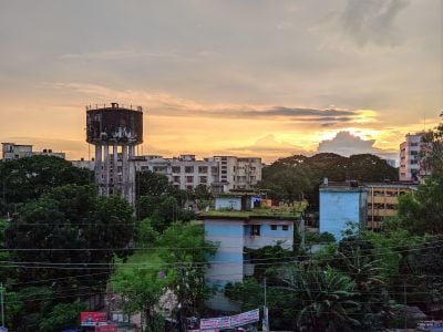
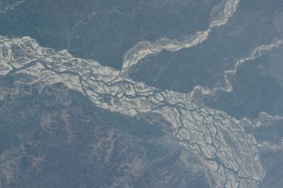
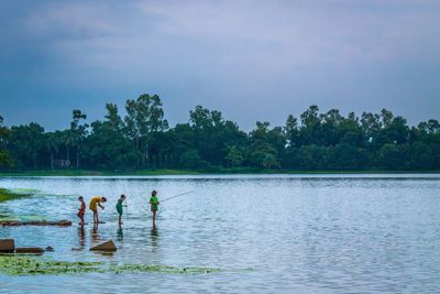
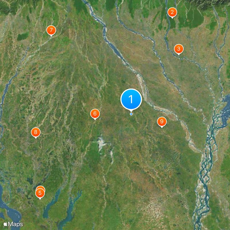
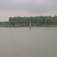
Rangpur Division is an administrative area in northern Bangladesh that spans eight districts: Dinajpur, Gaibandha, Kurigram, Lalmonirhat, Nilphamari, Panchagarh, Rangpur, and Thakurgaon. Rivers and farmland shape the landscape, forming the backbone of daily life and the local economy.

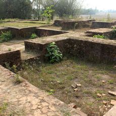
This zone was established in 2010 as Bangladesh's seventh administrative division, with Rangpur city serving as its center. The creation followed a reorganization of the northern territories and represents a significant administrative restructuring.

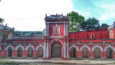
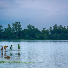
Different communities here express themselves through folk music and regional celebrations that happen throughout the year. These traditions shape daily life and connect the various districts together.

The region has good transportation connections including Saidpur Airport, multiple railway stations, and the N5 highway linking major cities. Using these routes helps visitors move efficiently between the various districts.

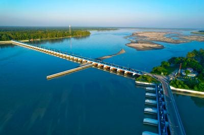
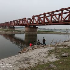
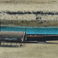
The Tista Barrage in Doani serves as Bangladesh's largest irrigation system supporting agricultural production across the region. This structure shapes how water is managed and distributed for farming throughout the area.

The community of curious travelers

AroundUs brings together thousands of curated places, local tips, and hidden gems, enriched daily by 60,000 contributors worldwide.

Start exploring
Location
Inception
July 1, 2010
Capital city
Rangpur
Elevation above the sea
41 m
Shares border with
West Bengal, Rajshahi Division, Mymensingh Division
Address
Rangpur, Bangladesh
GPS coordinates
25.83333,89.00000
Latest update
December 14, 2025 20:39
Reviews
Share your experience

No review yet

Discussions
Start a discussion...

No discussion yet

« Rangpur Division - Administrative division in northern Bangladesh » is provided by Around Us (aroundus.com). Images and texts are derived from Wikimedia project under a Creative Commons license. You are allowed to copy, distribute, and modify copies of this page, under the conditions set by the license, as long as this note is clearly visible.

Discover hidden gems everywhere you go!

From secret cafés to breathtaking viewpoints, skip the crowded tourist spots and find places that match your style. Our app makes it easy with voice search, smart filtering, route optimization, and insider tips from travelers worldwide. Download now for the complete mobile experience.

Around Us App Screenshot

A unique approach to discovering new places

Le Figaro

All the places worth exploring

France Info

A tailor-made excursion in just a few clicks

20 Minutes

Around Us
Travel Guide & Maps
Download

Send to your phone

QR Code
1

Open the camera app on your mobile.

2

Point at the QR code with your camera. A notification will appear.

3

Tap the notification to open the link.