Enable Location

We need your location to show you interesting places around you

Discover nearby places

Find interesting locations and hidden gems around you

Precise directions

Get accurate directions and distances to places

Your location is never shared with other users. It's only used when you tap the location button.

Rangpur District

Log in to your account

Start exploring — it's free

Trusted by 61,994 travelers worldwide

Continue with Google
Continue with Apple
or

We will send you a code to connect

By continuing, you accept our Terms and Conditions and our Privacy Policy

Check your inbox

We've sent a pincode in your inbox. Please enter the code below.

Rangpur District, Administrative district in Northern Bangladesh

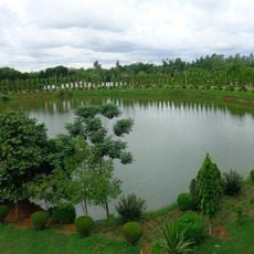
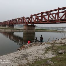
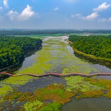
Rangpur District is an administrative area in northern Bangladesh situated between the Teesta and Ghaghot rivers. The landscape is shaped by fertile alluvial soils that support extensive agricultural activity.

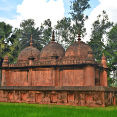
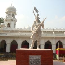
The area came under Mughal rule in 1575 and remained an important administrative center during British governance. It maintained its role as a significant administrative hub following Bangladesh independence.

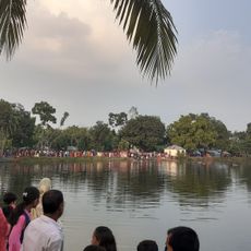
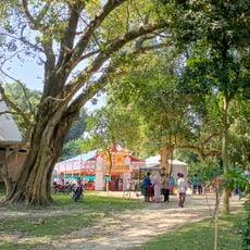
The region features traditional folk performances with music and dance as central elements. Islamic and Hindu communities celebrate together throughout the year, creating shared cultural moments.

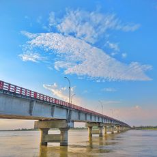
The region connects to major urban centers through Saidpur Airport, railway lines, and national highways. Visitors can find transportation options readily available throughout the area.

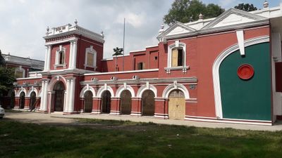
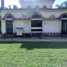
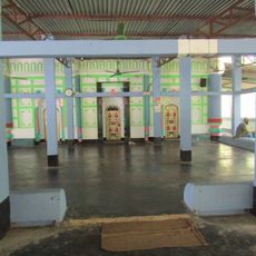
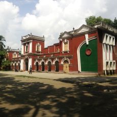
The district houses the restored Tajhat Palace, which blends Indo-European architectural styles and heritage. The palace contains a museum displaying regional artifacts that reflect local architectural history.

The community of curious travelers

AroundUs brings together thousands of curated places, local tips, and hidden gems, enriched daily by 60,000 contributors worldwide.

Start exploring
Location
Capital city
Rangpur
Shares border with
Dinajpur District, Nilphamari District, Lalmonirhat District, Kurigram District, Gaibandha District
GPS coordinates
25.73333,89.25000
Latest update
December 19, 2025 23:56
« Rangpur District - Administrative district in Northern Bangladesh » is provided by Around Us (aroundus.com). Images and texts are derived from Wikimedia project under a Creative Commons license. You are allowed to copy, distribute, and modify copies of this page, under the conditions set by the license, as long as this note is clearly visible.

Discover hidden gems everywhere you go!

From secret cafés to breathtaking viewpoints, skip the crowded tourist spots and find places that match your style. Our app makes it easy with voice search, smart filtering, route optimization, and insider tips from travelers worldwide. Download now for the complete mobile experience.

Around Us App Screenshot

A unique approach to discovering new places

Le Figaro

All the places worth exploring

France Info

A tailor-made excursion in just a few clicks

20 Minutes

Around Us
Travel Guide & Maps
Download

Send to your phone

QR Code
1

Open the camera app on your mobile.

2

Point at the QR code with your camera. A notification will appear.

3

Tap the notification to open the link.