Enable Location

We need your location to show you interesting places around you

Discover nearby places

Find interesting locations and hidden gems around you

Precise directions

Get accurate directions and distances to places

Your location is never shared with other users. It's only used when you tap the location button.

Dinajpur District

Log in to your account

Start exploring — it's free

Trusted by 63,526 travelers worldwide

Continue with Google
Continue with Apple
or

We will send you a code to connect

By continuing, you accept our Terms and Conditions and our Privacy Policy

Check your inbox

We've sent a pincode in your inbox. Please enter the code below.

Discussion Reviews 3 Photos
44.3k Popularity

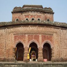
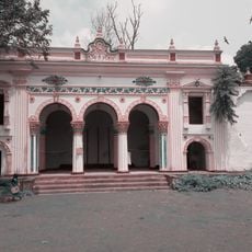
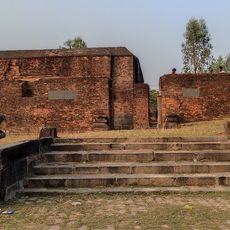
Dinajpur District, Administrative district in Rangpur Division, Bangladesh.

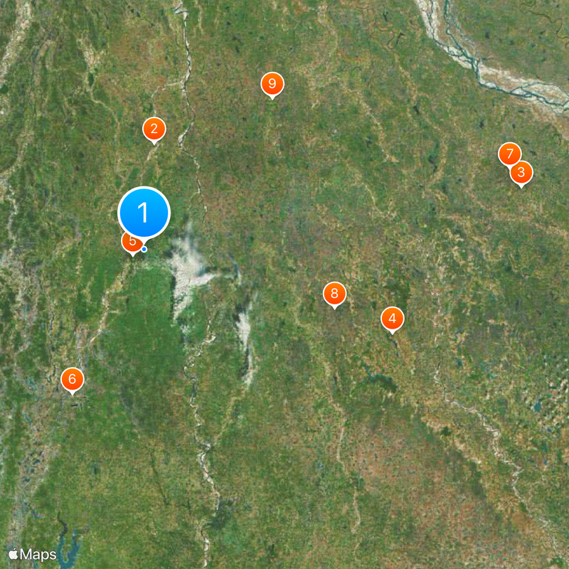
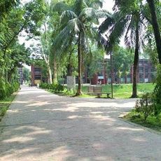
Dinajpur District sits in Rangpur Division in northern Bangladesh, sharing a border with West Bengal, India to the west. The district contains several towns and villages spread across its territory.

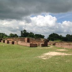
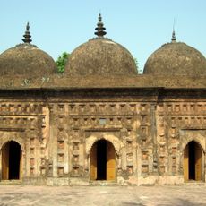
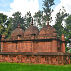
The region was established as Ghoraghat District in 1786 and experienced major boundary changes between 1833 and 1870. Parts of it were reallocated to neighboring administrative areas during this period.

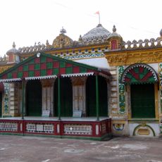
Folk music forms like Bhawaya performances and Kirtan religious songs remain active parts of local celebrations and gatherings today. These traditions connect people to their past and shape how communities come together.

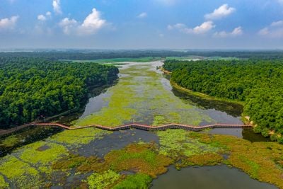
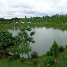
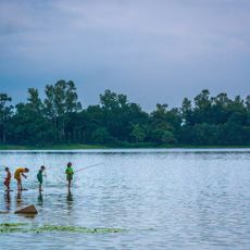
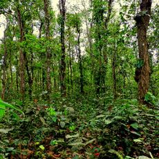
The region is primarily agricultural, so visitors will see rice paddies across the landscape and farming activity throughout the seasons. Travel outside the monsoon season makes getting around easier and roads more passable.

Significant coal deposits lie beneath the district, with the Barapukuria mine being the most active extraction site. Few visitors realize that these underground resources play an important role in the region's economy.

The community of curious travelers

AroundUs brings together thousands of curated places, local tips, and hidden gems, enriched daily by 60,000 contributors worldwide.

Start exploring
Location
Capital city
Dinajpur
Shares border with
Thakurgaon District, Panchagarh District, Nilphamari District, Rangpur District, Gaibandha District, Joypurhat District
GPS coordinates
25.63000,88.65000
Latest update
December 14, 2025 20:39
Reviews
Share your experience

No review yet

Discussions
Start a discussion...

No discussion yet

« Dinajpur District - Administrative district in Rangpur Division, Bangladesh » is provided by Around Us (aroundus.com). Images and texts are derived from Wikimedia project under a Creative Commons license. You are allowed to copy, distribute, and modify copies of this page, under the conditions set by the license, as long as this note is clearly visible.

Discover hidden gems everywhere you go!

From secret cafés to breathtaking viewpoints, skip the crowded tourist spots and find places that match your style. Our app makes it easy with voice search, smart filtering, route optimization, and insider tips from travelers worldwide. Download now for the complete mobile experience.

Around Us App Screenshot

A unique approach to discovering new places

Le Figaro

All the places worth exploring

France Info

A tailor-made excursion in just a few clicks

20 Minutes

Around Us
Travel Guide & Maps
Download

Send to your phone

QR Code
1

Open the camera app on your mobile.

2

Point at the QR code with your camera. A notification will appear.

3

Tap the notification to open the link.