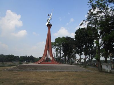
Thakurgaon District, Administrative district in Rangpur Division, Bangladesh
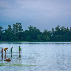
Thakurgaon is an administrative district in Rangpur Division in northwestern Bangladesh that borders Panchagarh District, Dinajpur District, and West Bengal, India. Rivers including Tangon and Nagar flow through the region, creating a landscape of farmland, villages, and local market centers.
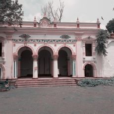
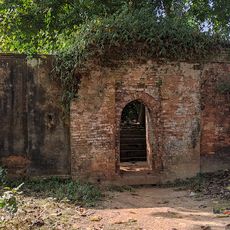
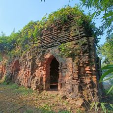
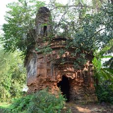
The district was established in 1860 as a mahakuma with seven thanas before gaining full district status in 1984. Its name comes from the Thakurbari residence, a historical structure that became connected to the region's identity.
The population includes Muslims, Hindus, and indigenous groups like Santal, Oraon, and Munda people whose traditions shape daily life in the region. Visitors can observe traditional crafts and community celebrations that reflect the coexistence of different ways of life across the villages.
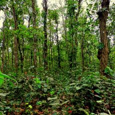
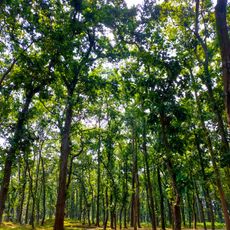
The region is primarily agricultural, with rice, wheat, and sugarcane as the main crops supported by river irrigation systems. The flat terrain makes travel straightforward, and visitors should plan visits to observe seasonal farm activities and village life.
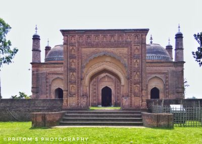
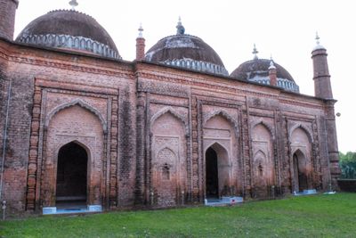
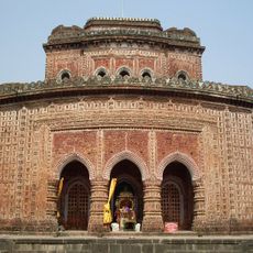
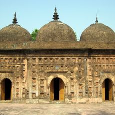
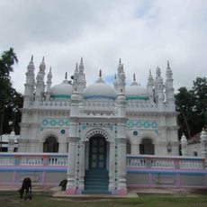
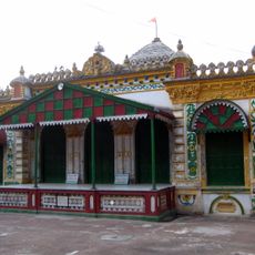
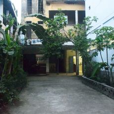
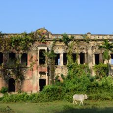
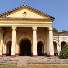
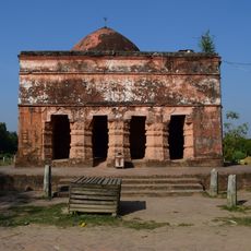
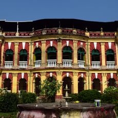
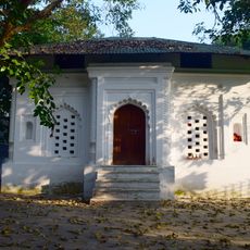
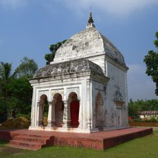
The Jagadal Zamindar Bari is a notable historical mansion found within the district that speaks to the region's colonial past. Local artisans continue to practice traditional pottery and bamboo weaving techniques using materials sourced from their surroundings.
The community of curious travelers
AroundUs brings together thousands of curated places, local tips, and hidden gems, enriched daily by 60,000 contributors worldwide.