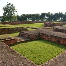
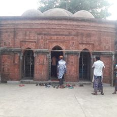
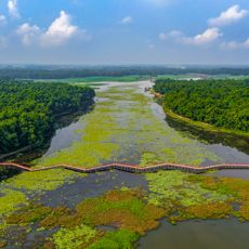
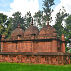
Gaibandha District, Administrative district in Rangpur Division, Bangladesh.
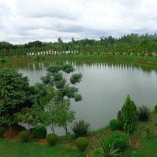
Gaibandha District sits in northern Bangladesh within Rangpur Division, divided into seven sub-districts and roughly 80 local administrative bodies. Major rivers shape how communities are scattered across the land and determine the routes people use to travel.
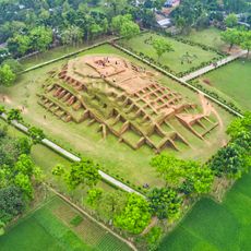
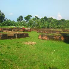
The region started as Bhabaniganj before being renamed in 1875 and formally established as a full district in 1984. These administrative changes reflected the area's growing role in northern Bangladesh's development.
Folk songs like Palli Geeti, Bhawaya, Jarigan, and Sarigan fill the air during celebrations and community gatherings, where locals share stories and mark important times together. These musical forms remain a living part of how people here connect with one another and their heritage.
You can reach this district by train from Dhaka in roughly eight hours, or fly to Saidpur airport and travel about an hour overland from there. The drier months make road travel easier and more comfortable for visitors passing through.
The local sweet Rasamanjari has been made here since around 1940 and remains a specialty of this part of northern Bangladesh. This confection shows how communities have developed and preserved their own food customs across the generations.
The community of curious travelers
AroundUs brings together thousands of curated places, local tips, and hidden gems, enriched daily by 60,000 contributors worldwide.