Chest opened
+${chestReward.xp} XP
Explorer
NOUVEAU ×${chestReward.collectible.quantity}
tapez pour fermer

See the monuments around you in AR Open chests in the app

Around Us is built for your phone — point your camera at the streets and discover the monuments and places around you in augmented reality. Around Us is built for your phone — chests unlock when you walk, explore and capture nearby places.

•

Enable Location

We need your location to show you interesting places around you

Discover nearby places

Find interesting locations and hidden gems around you

Precise directions

Get accurate directions and distances to places

Your location is never shared with other users. It's only used when you tap the location button.

Mahasthangarh

Log in to your account

Start exploring — it's free

Trusted by 93,373 travelers worldwide

Continue with Google
Continue with Apple
or

We will send you a code to connect

By continuing, you accept our Terms and Conditions and our Privacy Policy

Check your inbox

We've sent a pincode in your inbox. Please enter the code below.

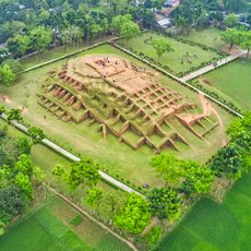
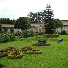
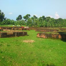
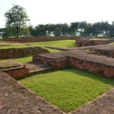
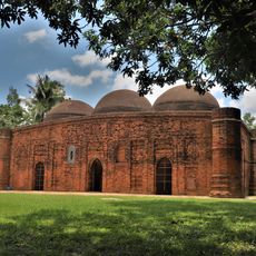
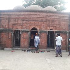
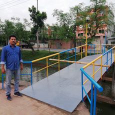
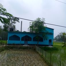
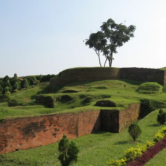
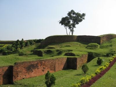
Mahasthangarh, Archaeological site in Bogura District, Bangladesh.

Mahasthangarh is an archaeological site in Bogura District, Bangladesh, where a rectangular citadel extends across one and a half kilometers. Multiple gateways lead into the complex, including Kata Duar and Tamra Dawaza, providing access to the ruins.

The 1931 discovery of a limestone slab with six lines of Prakrit in Brahmi script dates the city to at least the 3rd century BCE, when it was an important Maurya Empire city called Pundranagara. The fortified area remained in use until the 8th century CE. Francis Buchanan Hamilton first located the ruins in 1808, and Alexander Cunningham identified them as the capital of Pundravardhana in 1879.

The name derives from Mahasthan, meaning great place, and reflects its long veneration as a sacred ground. Visitors today see temple remains and religious structures showing how people of different faiths practiced their rituals here.

The site sits 36 meters (118 feet) above sea level on red soil of the Barind Tract and is reachable from the Bogra to Rangpur road. Walking through the large grounds takes several hours and requires comfortable shoes.

The 1931 find of a limestone slab with six lines of Prakrit in Brahmi script records a Mauryan-era order by Ashoka to distribute grain and money from the royal treasury to famine victims. The citadel's rampart stands 11 to 13 metres above the surrounding plain, and until the 1920s the interior was over 4 metres higher than the land outside.

The community of curious travelers

AroundUs brings together thousands of curated places, local tips, and hidden gems, enriched daily by 93,373 contributors worldwide.
Start exploring
Location
GPS coordinates
24.96111,89.34278
Latest update
October 30, 2026 16:56
Reviews
Share your experience

No review yet

Discussions
Start a discussion...

No discussion yet

« Mahasthangarh - Archaeological site in Bogura District, Bangladesh » is provided by Around Us (aroundus.com). Images and texts are derived from Wikimedia project under a Creative Commons license. You are allowed to copy, distribute, and modify copies of this page, under the conditions set by the license, as long as this note is clearly visible.

Discover hidden gems everywhere you go!

From secret cafés to breathtaking viewpoints, skip the crowded tourist spots and find places that match your style. Our app makes it easy with voice search, smart filtering, route optimization, and insider tips from travelers worldwide. Download now for the complete mobile experience.

Around Us App Screenshot
❝

A unique approach to discovering new places❞

— Le Figaro

❝

All the places worth exploring❞

— France Info

❝

A tailor-made excursion in just a few clicks❞

— 20 Minutes

Around Us
Travel Guide & Maps
Download

Send to your phone

QR Code
1

Open the camera app on your mobile.

2

Point at the QR code with your camera. A notification will appear.

3

Tap the notification to open the link.