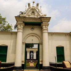
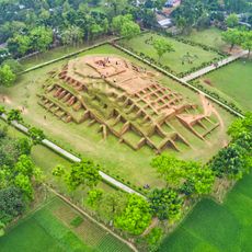
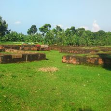
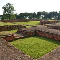
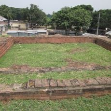
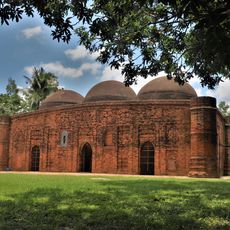
Bogura District, Administrative district in northern Bangladesh.
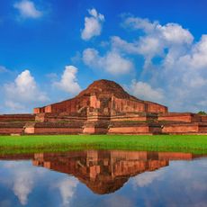
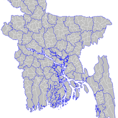
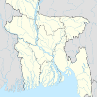
Bogura District is an administrative territorial entity in northern Bangladesh covering roughly 2,900 square kilometers. The area is traversed by several rivers and bordered by neighboring districts including Joypurhat, Gaibandha, and Natore.
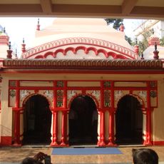
The district was established in 1821 during British rule and originally comprised nine administrative divisions. A major restructuring in 1983 created the current administrative structure.
The region maintains traditional song forms like Jarigan and Marfati that echo through villages during local celebrations and harvest festivals. These musical expressions tell stories of daily life and reflect the people's deep connection to farming and community.
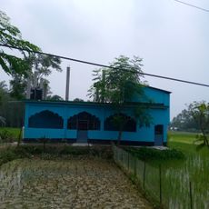
Most people here depend on farming and related work, which shapes the rhythm of community life. Visitors will find colleges and medical facilities, along with access to river transport and rural landscapes.
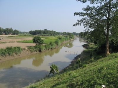
Five rivers – Karatoya, Jamuna, Nagar, Bangali, and Ichamati – flow through the area creating a network that enables traditional water and land transport. These waterways have long served as lifelines for trade and movement between villages.
Location: Rajshahi Division
Inception: 1821
Capital city: Bogura
Shares border with: Joypurhat District, Gaibandha District, Jamalpur District, Sirajganj District, Natore District, Naogaon District
Website: http://bogra.gov.bd
GPS coordinates: 24.78000,89.35000
Latest update: December 7, 2025 09:22
Jamuna Bridge
61.2 km
Mahasthangarh
20.2 km
Somapura Mahavihara
46.9 km
201 Dome Mosque
56.8 km
Natore Rajbari
54 km
Uttara Gano Bhaban
54.1 km
Dighapatia Raj
51.2 km
Bhabanipur Shaktipith
27 km
পতিসর রবীন্দ্র কাছারি বাড়ি ও তৎসংলগ্ন কীর্তিসমূহ
32 km
Gokul Medh
17.4 km
Archaeological Museum, Mohasthangarh
20.3 km
Palace of Parshuram
19 km
Vasu Vihara
23.2 km
Halud Vihara
41.8 km
Dhubal Hati Palace
47.2 km
Dhanbari Nawab Palace
62.3 km
Kherua Mosque
15.1 km
Hemnagar Zamindar Bari
56.3 km
Dhanbari Mosque
62.4 km
Sura Mosque
54.3 km
Bhimer Panti
55.4 km
Jamuna Bridge West Bank Eco-Park
58.3 km
Uttara Ganabhaban Museum
54.1 km
Natore Stadium
53.7 km
Baraidaha
27.4 km
Somapura Mahavihara
46.5 km
Rin Sri Sri Jayakali Mother Temple
54.5 km
Bijayangan Museum বিজয়াঙ্গন মুক্তিযুদ্ধ যাদুঘর
5.1 kmReviews
Visited this place? Tap the stars to rate it and share your experience / photos with the community! Try now! You can cancel it anytime.
Discover hidden gems everywhere you go!
From secret cafés to breathtaking viewpoints, skip the crowded tourist spots and find places that match your style. Our app makes it easy with voice search, smart filtering, route optimization, and insider tips from travelers worldwide. Download now for the complete mobile experience.
A unique approach to discovering new places❞
— Le Figaro
All the places worth exploring❞
— France Info
A tailor-made excursion in just a few clicks❞
— 20 Minutes