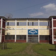
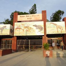
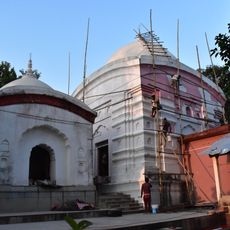
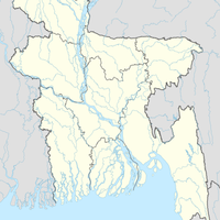
Nilphamari District, Administrative district in Rangpur Division, Bangladesh
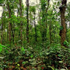
Nilphamari District is an administrative region in Rangpur Division spanning about 1,580 square kilometers in northern Bangladesh. Two rivers, the Tista and Jamuneshwari, flow through the area, and it shares a border with India's Cooch Behar district.
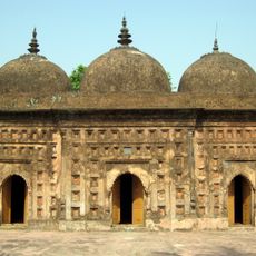
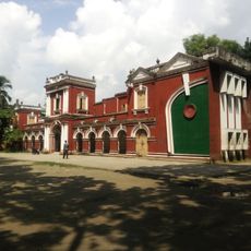
The district was established in 1984 as a separate administrative unit after being part of Rangpur District for many years. This separation came after decades of British colonial rule and the period when indigo plantations dominated the region.
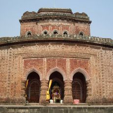
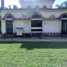
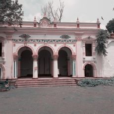
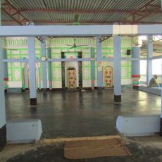
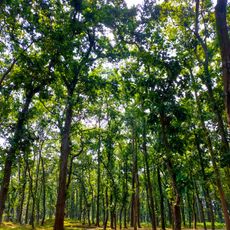
The district's name comes from indigo farms that flourished here two centuries ago and shaped regional identity. This agricultural past remains visible in how local communities live and work today.
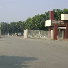
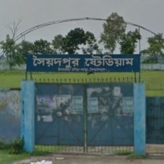
The area is organized into three municipalities that serve as main centers, along with sixty-two union councils covering many small villages. Saidpur Airport is the main transportation hub connecting the district to other parts of the country.
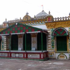
Nilsagar pond lies southwest of the district headquarters and holds special religious meaning during the annual Baruni Snan festival. Visitors come here to witness this traditional celebration, which combines ritual bathing with community gatherings.
Location: Rangpur Division
Inception: 1984
Capital city: Nilphamari
Elevation above the sea: 49 m
Shares border with: Panchagarh District, Dinajpur District, Rangpur District, Lalmonirhat District
Website: http://nilphamari.gov.bd
GPS coordinates: 25.95000,88.95000
Latest update: December 7, 2025 19:23
Kantajew Temple
33.5 km
Tajhat Palace
41.5 km
Gor-E-Shahid Eidgah Maidan
48.5 km
Rangpur Polytechnic Institute
38.1 km
Rajpat
45.9 km
Lost Mosque
45.4 km
Uttara Export Processing Zone
13.4 km
Nayabad Mosque
34.7 km
Dinajpur Rajbari
44.9 km
Nilphamari Stadium
10.6 km
Recreation Park and Rangpur Zoo
37.2 km
Kamteswari temple
46.1 km
Chini Mosque
18.3 km
Laldighi Mosque
25.1 km
Rangpur Town Hall
37.2 kmGovernment Girls' High School, Dinajpur
47.2 km
Singra National Park
39.3 km
Kaliya jue Temple
33.5 km
Saidpur Stadium
20.5 km
Gangachara Sheikh Hasina Bridge
31.9 km
Dinajpur Museum
47.7 km
রীঁ শ্রী শ্রী করুণাময়ী কালীবাড়ি
37.7 km
Birgonj National Park
30.9 km
Chaprakot Mound
41.5 km
Shasoto Bangla Museum
35.7 km
Shaheed Minar
39.7 km
Vinnyajagat
20.7 km
Monument to the War of Liberation
39.6 kmVisited this place? Tap the stars to rate it and share your experience / photos with the community! Try now! You can cancel it anytime.
Discover hidden gems everywhere you go!
From secret cafés to breathtaking viewpoints, skip the crowded tourist spots and find places that match your style. Our app makes it easy with voice search, smart filtering, route optimization, and insider tips from travelers worldwide. Download now for the complete mobile experience.
A unique approach to discovering new places❞
— Le Figaro
All the places worth exploring❞
— France Info
A tailor-made excursion in just a few clicks❞
— 20 Minutes