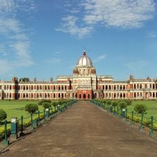
Lalmonirhat District, Administrative district in Rangpur Division, Bangladesh
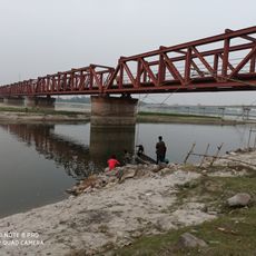
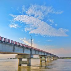
Lalmonirhat District is an administrative area in northern Bangladesh bordering India, with the Teesta and Dharla rivers flowing through its landscape. The territory encompasses rural settlements, agricultural lands, and smaller towns spread across its geography.
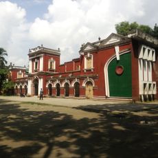
The district was established as a separate administrative area in 1984, taking its name from a woman who donated land for railway construction during the 19th century. This creation represented an important administrative reorganization of Bangladesh's northern region.
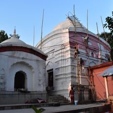
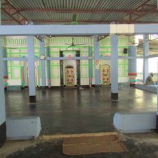
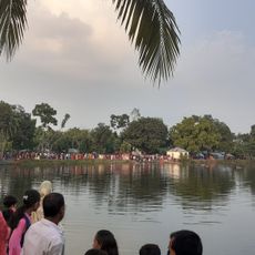
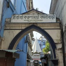
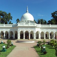
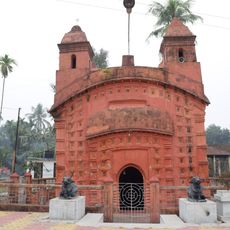
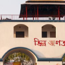
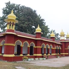
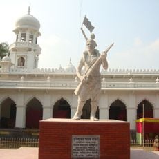
The district maintains Bengali traditions through folk music performances, including Meyeligeet and Palligeeti, while supporting both Muslim and Hindu religious practices.
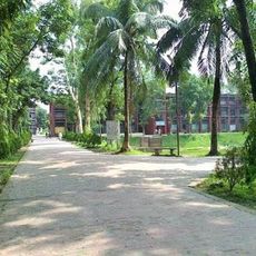
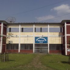
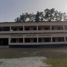
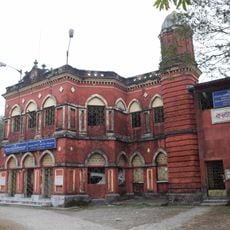
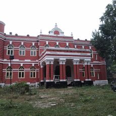
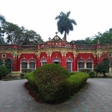
The district has extensive educational facilities spread across rural and urban areas, making it relatively accessible for visitors seeking to understand local life. Expect basic transportation options and accommodations typical of northern Bangladesh regions.
The district contains 33 enclaves, including Dahagram and Angarpota, which connect to the mainland through the Tin Bigha Corridor. This geographic arrangement makes it an unusual example of cross-border administration in the region.
Location: Rangpur Division
Capital city: Lalmonirhat
Shares border with: Nilphamari District, Rangpur District, Kurigram District
Website: http://lalmonirhat.gov.bd
GPS coordinates: 26.00000,89.25000
Latest update: December 7, 2025 19:32
Cooch Behar Palace
41 km
Tajhat Palace
30.8 km
Rangpur Polytechnic Institute
27.6 km
Rajpat
19.7 km
Uttara Export Processing Zone
41.8 km
Tista Railway Bridge
29.8 km
Nilphamari Stadium
41.2 km
Recreation Park and Rangpur Zoo
27.2 km
Kamteswari temple
18.8 km
Laldighi Mosque
40.7 km
Rangpur Town Hall
27.4 km
Sindurmati Dighi
33.9 km
Koteshwar Shiva Mandir
31.8 km
Gangachara Sheikh Hasina Bridge
14.6 km
রীঁ শ্রী শ্রী করুণাময়ী কালীবাড়ি
27.8 km
Singerdabri Hat Ml High School & College
33.5 km
Rail Museum, Cooch Behar
40.9 km
Madan Mohan temple
40.6 km
Siddhanath Shiva temple
38.1 km
Shasoto Bangla Museum
27 km
Shaheed Minar
31.1 km
Vinnyajagat
23.6 km
Kalyan Bhawan
40.4 km
Victor Palace
40.5 km
Parijat Villa
40.5 km
Maharaja Jitendra Narayan Club
41.1 km
Monument to the War of Liberation
31 km
Cooch Behar head post office
41 kmVisited this place? Tap the stars to rate it and share your experience / photos with the community! Try now! You can cancel it anytime.
Discover hidden gems everywhere you go!
From secret cafés to breathtaking viewpoints, skip the crowded tourist spots and find places that match your style. Our app makes it easy with voice search, smart filtering, route optimization, and insider tips from travelers worldwide. Download now for the complete mobile experience.
A unique approach to discovering new places❞
— Le Figaro
All the places worth exploring❞
— France Info
A tailor-made excursion in just a few clicks❞
— 20 Minutes