
Rangamati Sadar Upazila, upazila in Chittagong Division, Bangladesh
Location: Rangamati Hill District
Elevation above the sea: 40 m
Website: http://sadar.rangamati.gov.bd
Website: http://sadar.rangamati.gov.bd
GPS coordinates: 22.65000,92.18330
Latest update: May 16, 2025 22:21
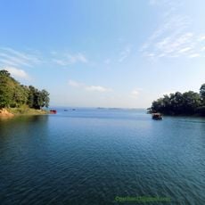
Kaptai Lake
17.8 km
Buddha Dhatu Jadi
47.6 km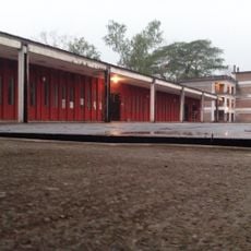
Bangladesh Sweden Polytechnic Institute
16.4 km
Shadhinata Complex
46 km
Kaptai National Park
16.6 km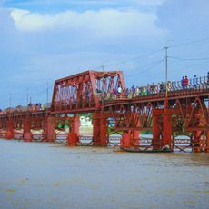
Kalurghat Bridge
41.4 km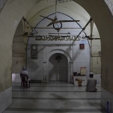
Wali Khan Mosque
48.2 km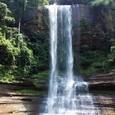
Dhuppani waterfall
35.3 km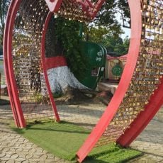
Love Point, Bangladesh
1.8 km
Chittagong University Museum
45.6 km
Sheikh Russel Aviary and Eco-Park
18.6 km
Chittagong University Sub Post Office
45.6 km
Kadurkhil High School Mrith Bhaban
39.7 km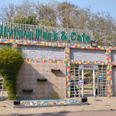
Hillview Park & Cafe
16.9 km
Chattogram Cantonment Museum
47.8 km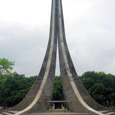
Central Shaheed Minar, Chittagong University
45.4 km
Buddhijibi Smriti Stambh
45.3 km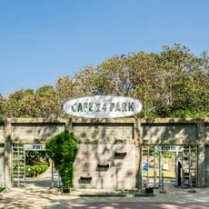
Cafe 24 Park
47.3 km
Zero Point, University of Chittagong
46 km
Khagrachhari (subdistrito)
47.7 km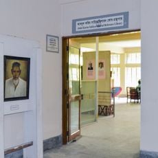
Abdul Karim Sahityavisharad Reference Library
45.8 km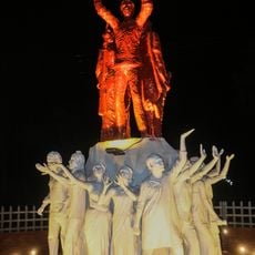
Joy Bangla
45.4 km
Raozan Monument
30.6 km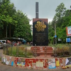
Swaran
44.8 km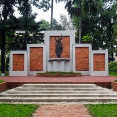
Swadhinata Smrity Mural
45.6 km
World Peace Pagoda
44.1 km
Bangabandhu Udyan
45.6 km
A. F. Rahman Hall
44.7 kmReviews
Visited this place? Tap the stars to rate it and share your experience / photos with the community! Try now! You can cancel it anytime.
Discover hidden gems everywhere you go!
From secret cafés to breathtaking viewpoints, skip the crowded tourist spots and find places that match your style. Our app makes it easy with voice search, smart filtering, route optimization, and insider tips from travelers worldwide. Download now for the complete mobile experience.

A unique approach to discovering new places❞
— Le Figaro
All the places worth exploring❞
— France Info
A tailor-made excursion in just a few clicks❞
— 20 Minutes