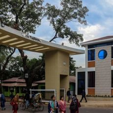
Sandwip Upazila, Administrative division in Chattogram District, Bangladesh
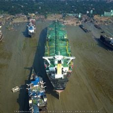
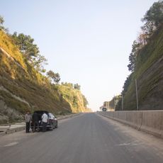
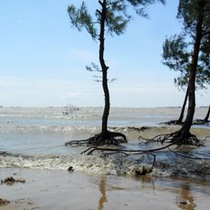
Sandwip Upazila is an administrative division in Chattogram District that includes the main Sandwip Island and Urir Char in the Bay of Bengal. The area covers about 762 square kilometers and connects different settlements through roughly 26 kilometers of paved roads and 185 kilometers of waterways.
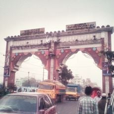
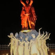
The region gained upazila status in 1984, marking a change from its earlier administrative arrangement as a thana. Before this transition, the area had experienced centuries of rule by different powers, including Portuguese pirates and Mughal authorities.
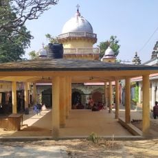
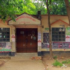
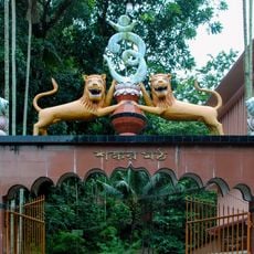
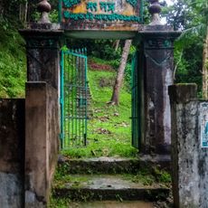
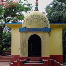
The area is home to more than 295 mosques where people gather for prayer and community life, reflecting deep religious roots. These structures shape the rhythm of daily routines and the way residents connect with one another.
Getting around between settlements relies mainly on water routes and paved roads, with boat travel being a key part of daily mobility. Visitors should be prepared for journeys that take time and require flexibility, especially when using the waterways.
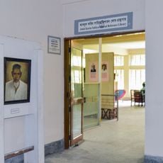
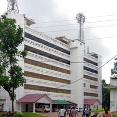
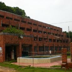
The area shows an unusual education pattern where women have a higher literacy rate than men, which differs from typical national trends. This characteristic makes the region a notable example of gender equality in education access.
The community of curious travelers
AroundUs brings together thousands of curated places, local tips, and hidden gems, enriched daily by 60,000 contributors worldwide.