Enable Location

We need your location to show you interesting places around you

Discover nearby places

Find interesting locations and hidden gems around you

Precise directions

Get accurate directions and distances to places

Your location is never shared with other users. It's only used when you tap the location button.

Chattogram District

Log in to your account

Start exploring — it's free

Trusted by 61,439 travelers worldwide

Continue with Google
Continue with Apple
or

We will send you a code to connect

By continuing, you accept our Terms and Conditions and our Privacy Policy

Check your inbox

We've sent a pincode in your inbox. Please enter the code below.

Chattogram District, Administrative district in southeastern Bangladesh

Description

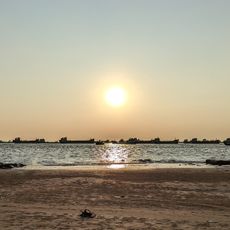
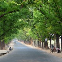
Chattogram District is an administrative division in southeastern Bangladesh that spans diverse terrain including hills, river valleys, forests, and coastal zones. The land extends from interior regions down to the Bay of Bengal, creating varied landscapes that support agriculture, fishing, and urban settlements.

History

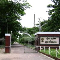
The area was established in 1829 as an administrative center for eastern Bengal during colonial rule. Significant territorial changes occurred in 1984 when neighboring Cox's Bazar was separated to form its own district.

Culture

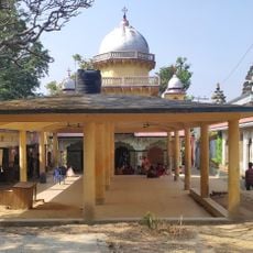
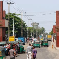
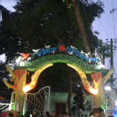
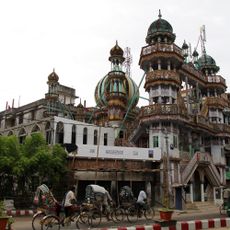
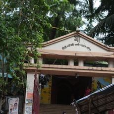
The population consists of Muslims, Hindus, and Buddhists who celebrate local festivals throughout the year and share regional dishes that reflect their diverse heritage. This religious diversity shapes daily life and local customs across the fifteen administrative subdivisions.

Practical

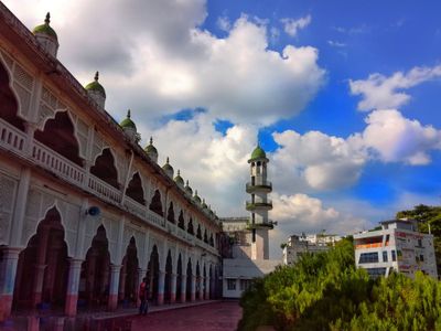
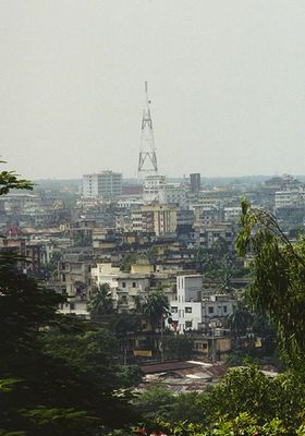
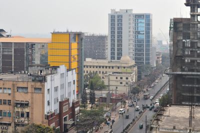
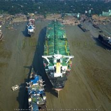
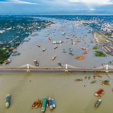
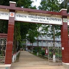
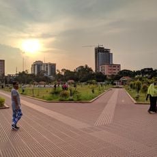
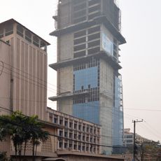
Chittagong city, the district's capital, serves as Bangladesh's main seaport and second-largest urban center, making it a key transportation hub for the region. Visitors will find most facilities and services concentrated in the city, while rural areas have more limited infrastructure for travelers.

Did you know?

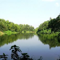
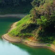
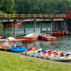
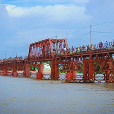
Three major rivers—the Karnaphuli, Halda, and Sangu—flow through the district, forming a vital waterway network that shapes local life. These waterways support fishing, agriculture, and daily transportation, with local communities depending on them for food and commerce.

Capital city
Chittagong
Shares border with
Cox's Bazar District, Bandarban District, Rangamati District, Khagrachari District, Feni District, Noakhali District
GPS coordinates
22.33750,91.83890
Latest update
December 14, 2025 19:11

AroundUs brings together thousands of curated places, local tips, and hidden gems, enriched daily by 60,000 contributors worldwide. Discover all places nearby (Chattogram Division).

« Chattogram District - Administrative district in southeastern Bangladesh » is provided by Around Us (aroundus.com). Images and texts are derived from Wikimedia project under a Creative Commons license. You are allowed to copy, distribute, and modify copies of this page, under the conditions set by the license, as long as this note is clearly visible.

Discover hidden gems everywhere you go!

From secret cafés to breathtaking viewpoints, skip the crowded tourist spots and find places that match your style. Our app makes it easy with voice search, smart filtering, route optimization, and insider tips from travelers worldwide. Download now for the complete mobile experience.

Around Us App Screenshot

A unique approach to discovering new places

Le Figaro

All the places worth exploring

France Info

A tailor-made excursion in just a few clicks

20 Minutes

Around Us
Travel Guide & Maps
Download

Send to your phone

QR Code
1

Open the camera app on your mobile.

2

Point at the QR code with your camera. A notification will appear.

3

Tap the notification to open the link.