Sint-Pieters-Leeuw

Log in to your account

AroundUs is a community-driven map of interesting places, built by curious explorers like you. It grows with every review, story, and photo you share.
Connect to save your favorite spots, contribute locations, and create personalized routes.
By continuing, you accept our Terms and Conditions and our Privacy Policy
Add to collection
Map
Suggest a change
Share

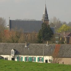
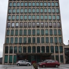
Sint-Pieters-Leeuw, Municipality in Flemish Brabant, Belgium.

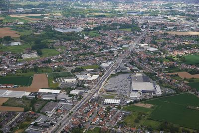
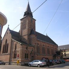
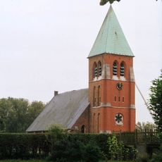
Sint-Pieters-Leeuw is a municipality in Flanders composed of five distinct towns: Oudenaken, Ruisbroek, Sint-Laureins-Berchem, Sint-Pieters-Leeuw, and Vlezenbeek. These settlements are spread across 40 square kilometers (15.5 square miles) and function together as a single administrative body.

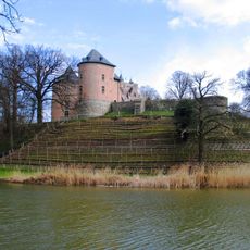
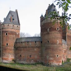
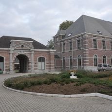
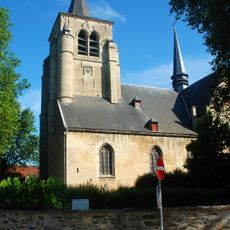
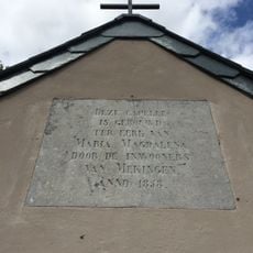
The area gained formal recognition in the 13th century when the Duke of Brabant granted specific rights to the fiefdom. The modern municipality took its current form in 1977 through the merger of several previously separate communities.

The municipality balances Dutch as its official language with a significant French-speaking community that shapes daily life. This linguistic duality is visible throughout the area and reflected in the schools and neighborhoods.

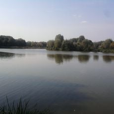
The five towns can be explored at your own pace, whether you plan a brief visit or spend more time discovering each area. The communities are well-connected, making it easy to move between them and get a complete sense of the municipality.

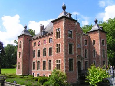
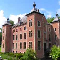
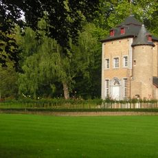
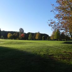
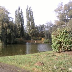
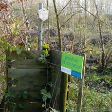
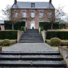
The Coloma Park contains an international rose garden with more than 3,000 varieties, among the largest collections in the region. Few visitors know about this quiet spot, yet it showcases an impressive botanical collection that draws gardening enthusiasts.

Location: Arrondissement of Halle-Vilvoorde

Capital city: Sint-Pieters-Leeuw

Part of: Emergency zone Flemish Brabant West, Zennevallei police zone

Shares border with: Dilbeek, Pepingen, Halle, Beersel, Drogenbos, Anderlecht, Lennik

Phone: +3223712211

Email: info@sint-pieters-leeuw.be

Website: https://sint-pieters-leeuw.be

GPS coordinates: 50.78333,4.25000

Latest update: December 7, 2025 19:28

Photos
Reviews

Visited this place? Tap the stars to rate it and share your experience / photos with the community! Try now! You can cancel it anytime.

« Sint-Pieters-Leeuw - Municipality in Flemish Brabant, Belgium » is provided by Around Us (aroundus.com). Images and texts are derived from Wikimedia project under a Creative Commons license. You are allowed to copy, distribute, and modify copies of this page, under the conditions set by the license, as long as this note is clearly visible.

Discover hidden gems everywhere you go!

From secret cafés to breathtaking viewpoints, skip the crowded tourist spots and find places that match your style. Our app makes it easy with voice search, smart filtering, route optimization, and insider tips from travelers worldwide. Download now for the complete mobile experience.

Around Us App Screenshot

A unique approach to discovering new places

Le Figaro

All the places worth exploring

France Info

A tailor-made excursion in just a few clicks

20 Minutes