Weißer Stein, Summit at border between Büllingen, Belgium and Euskirchen, Germany.
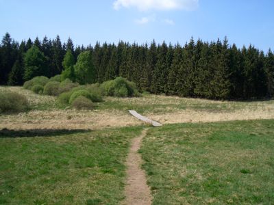
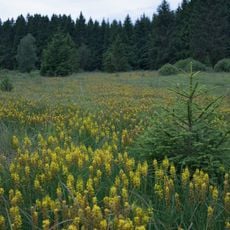
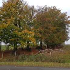
Weißer Stein is a summit in the Zitter Forest situated along the border between Belgium and Germany, rising within densely forested terrain. The area features mixed woodland with several marked hiking trails crossing the summit zone, making it accessible from both the Belgian and German sides.
The area was entirely part of Germany before 1920, when political borders were redrawn following the First World War. This boundary shift created the summit's current cross-border status, positioning it at the intersection of two nations.
The name comes from the white quartzite rocks visible in the landscape, which stand out among the trees and forest floor. Visitors can spot these pale stones while hiking and understand how the location got its distinctive name.
The area is reachable by hiking trails from both sides of the border, with information materials and parking available in the municipalities of Büllingen and Euskirchen. Visitors should wear sturdy footwear since forest paths can be uneven and become slippery after rain.
Measurements by the University of Liege in 2007 sparked discussions about whether this summit might be higher than Signal de Botrange, Belgium's official highest point. This debate reveals how elevation measurements at borders can sometimes yield surprising results.
The community of curious travelers
AroundUs brings together thousands of curated places, local tips, and hidden gems, enriched daily by 60,000 contributors worldwide.