Etterbeek

Log in to your account

AroundUs is a community-driven map of interesting places, built by curious explorers like you. It grows with every review, story, and photo you share.
Connect to save your favorite spots, contribute locations, and create personalized routes.
Continue with Google
Continue with Apple
Continue with X
Continue with Facebook
Continue with email
By continuing, you accept our Terms and Conditions and our Privacy Policy
Create an account
Add to collection
Map
Suggest a change
Share

Etterbeek, Municipality in Brussels-Capital Region, Belgium

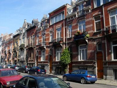
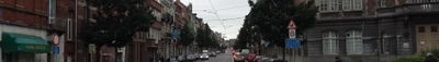
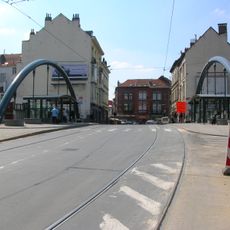
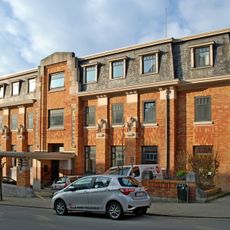
Etterbeek is a municipality that stretches across the eastern part of Brussels, spanning residential neighborhoods and main thoroughfares. The territory connects with six neighboring municipalities through a network of streets and boulevards, creating a linked urban area.

The first written record of the municipality appears in documents from 1127 under the name Ietrebecca, establishing the start of its documented past. Over centuries, the area transformed from rural land into an integrated part of modern Brussels's urban region.

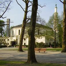
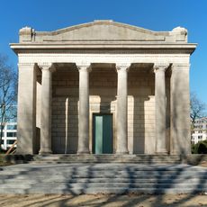
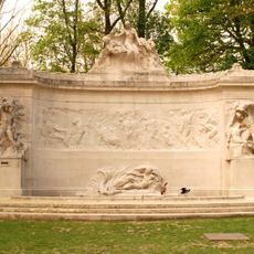
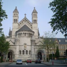
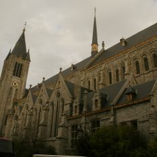
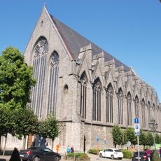
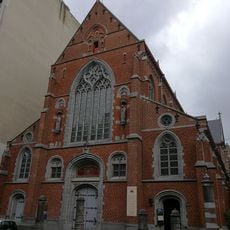
Two Roman Catholic churches stand in Etterbeek, including the Church of Saint Anthony of Padua and the Church of Our Lady of the Sacred Heart. These buildings shape the neighborhood and reflect religious traditions that residents have maintained for centuries.

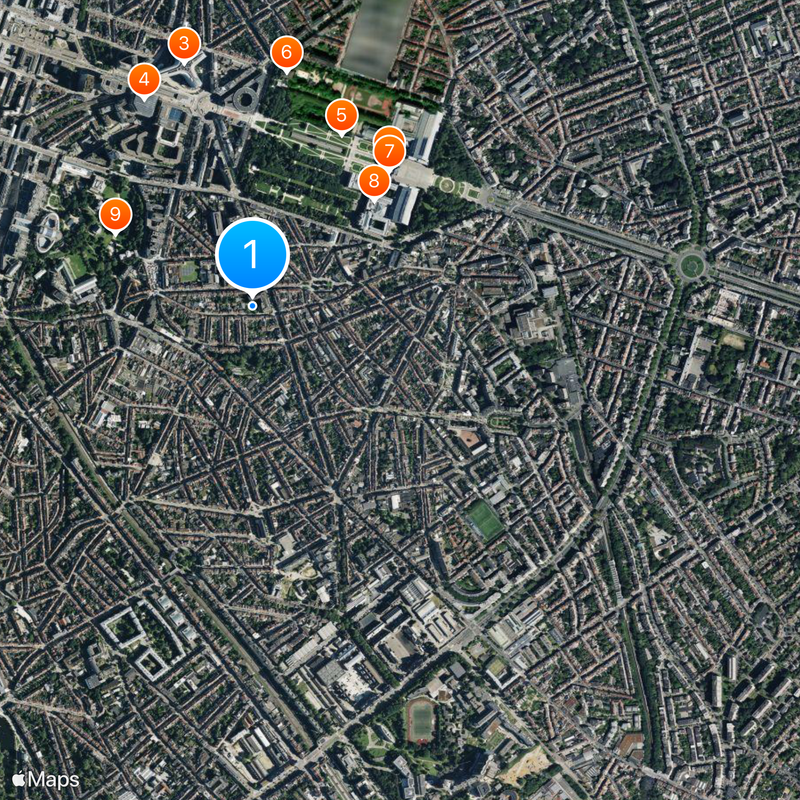
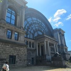
Three metro stations and a railway station serve the area with direct connections to central Brussels and other parts of the region. This good public transport access makes navigation straightforward for visitors moving through the municipality.

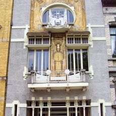
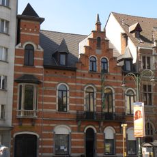
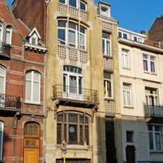
The Cauchie House, built in 1905, features intricate sgraffiti decorations on its facade depicting allegorical scenes. This Art Nouveau building is often overlooked by visitors despite being a notable architectural landmark in the area.

Location: Arrondissement of Brussels-Capital

Elevation above the sea: 65 m

Operator: Commune d'Etterbeek - Gemeente Etterbeek

Part of: Brussels Fire Department, Montgomery Police Zone

Shares border with: Ixelles - Elsene, City of Brussels, Schaerbeek, Woluwe-Saint-Lambert - Sint-Lambrechts-Woluwe, Woluwe-Saint-Pierre - Sint-Pieters-Woluwe, Auderghem - Oudergem

Phone: +3226272111

Email: communication@etterbeek.brussels

Website: https://etterbeek.brussels

GPS coordinates: 50.83611,4.38611

Latest update: December 19, 2025 23:02

Photos
Reviews

Visited this place? Tap the stars to rate it and share your experience / photos with the community! Try now! You can cancel it anytime.

« Etterbeek - Municipality in Brussels-Capital Region, Belgium » is provided by Around Us (aroundus.com). Images and texts are derived from Wikimedia project under a Creative Commons license. You are allowed to copy, distribute, and modify copies of this page, under the conditions set by the license, as long as this note is clearly visible.

Discover hidden gems everywhere you go!

From secret cafés to breathtaking viewpoints, skip the crowded tourist spots and find places that match your style. Our app makes it easy with voice search, smart filtering, route optimization, and insider tips from travelers worldwide. Download now for the complete mobile experience.

Around Us App Screenshot

A unique approach to discovering new places

Le Figaro

All the places worth exploring

France Info

A tailor-made excursion in just a few clicks

20 Minutes