Enable Location

We need your location to show you interesting places around you

Discover nearby places

Find interesting locations and hidden gems around you

Precise directions

Get accurate directions and distances to places

Your location is never shared with other users. It's only used when you tap the location button.

Roeselare

Log in to your account

Start exploring — it's free

Trusted by 62,041 travelers worldwide

Continue with Google
Continue with Apple
or

We will send you a code to connect

By continuing, you accept our Terms and Conditions and our Privacy Policy

Check your inbox

We've sent a pincode in your inbox. Please enter the code below.

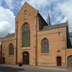
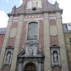
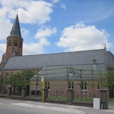
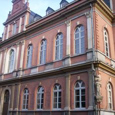
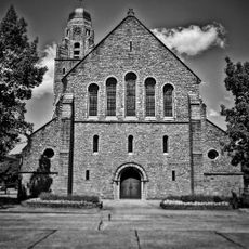
Roeselare, Administrative center in West Flanders, Belgium

Roeselare is a city in West Flanders comprising a main urban center and three neighboring towns of Beveren, Oekene, and Rumbeke. The municipality connects these distinct areas through roads and shared services into a functional whole.

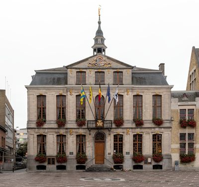
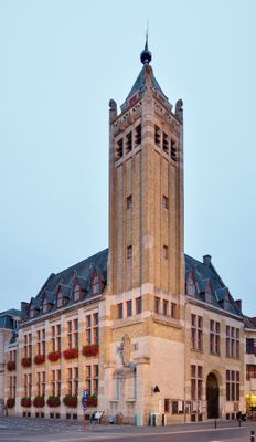
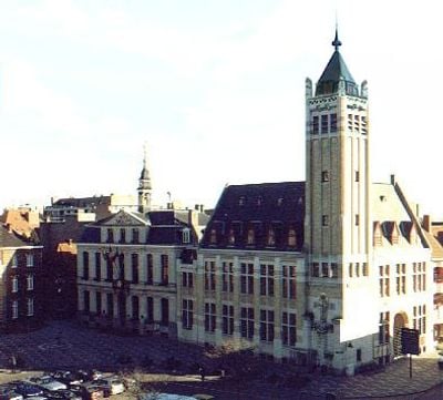
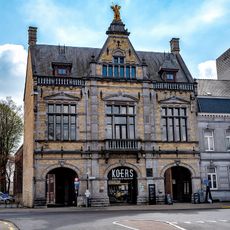
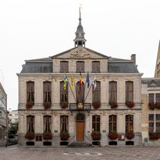
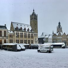
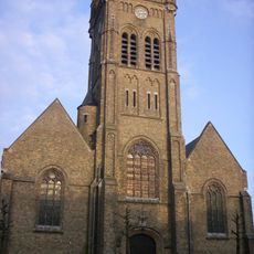
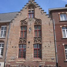
The settlement received a charter granting freedoms in the 13th century, allowing residents to build fortifications and organize public markets. This privilege helped the town develop as a local center and foster commerce.

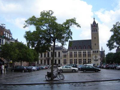
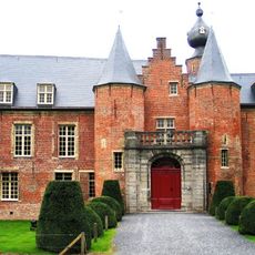
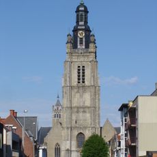
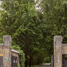
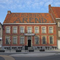
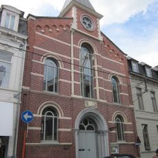
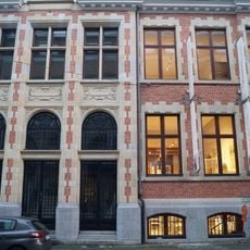
The town center maintains a local character with modest squares and shops that reflect how residents go about their daily lives. People gather in public spaces for socializing and shopping, giving the place a friendly neighborhood feel.

The town is well connected by direct rail lines to major Belgian cities and sits near the E403/A17 motorway for easy access. These transportation links make it straightforward to reach and travel onward to other parts of the region.

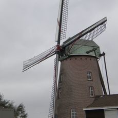
The name Roeselare comes from Germanic words describing a marsh in a forest clearing, reflecting how early settlers perceived the original landscape. This etymology reveals the natural conditions that first attracted people to the area.

The community of curious travelers

AroundUs brings together thousands of curated places, local tips, and hidden gems, enriched daily by 60,000 contributors worldwide.

Start exploring
Inception
January 1, 1977
Capital city
Roeselare
Operator
Stad Roeselare
Part of
Emergency zone Midwest, Politiezone RIHO
Shares border with
Lichtervelde, Ardooie, Hooglede, Staden, Zonnebeke, Moorslede, Ledegem, Izegem
Phone
GPS coordinates
50.94472,3.12333
Latest update
December 20, 2025 00:16
« Roeselare - Administrative center in West Flanders, Belgium » is provided by Around Us (aroundus.com). Images and texts are derived from Wikimedia project under a Creative Commons license. You are allowed to copy, distribute, and modify copies of this page, under the conditions set by the license, as long as this note is clearly visible.

Discover hidden gems everywhere you go!

From secret cafés to breathtaking viewpoints, skip the crowded tourist spots and find places that match your style. Our app makes it easy with voice search, smart filtering, route optimization, and insider tips from travelers worldwide. Download now for the complete mobile experience.

Around Us App Screenshot

A unique approach to discovering new places

Le Figaro

All the places worth exploring

France Info

A tailor-made excursion in just a few clicks

20 Minutes

Around Us
Travel Guide & Maps
Download

Send to your phone

QR Code
1

Open the camera app on your mobile.

2

Point at the QR code with your camera. A notification will appear.

3

Tap the notification to open the link.