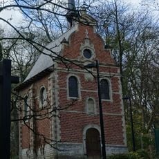
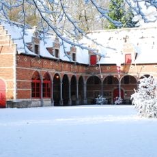
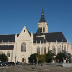
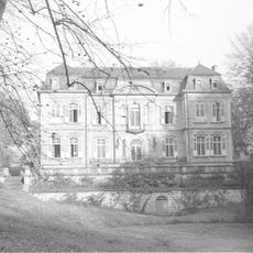
Vilvoorde, Municipality in Flemish Brabant, Belgium.
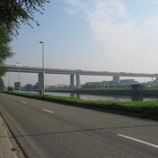
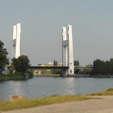
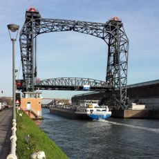
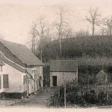
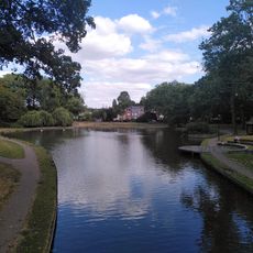
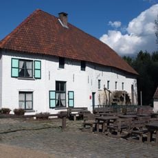
Vilvoorde is a city in Flemish Brabant that stretches along the Zenne River, encompassing the main center, neighborhoods called Koningslo and Houtem, and the small town of Peutie. The city has a mixed residential character where housing areas, green spaces, and the river landscape blend together.
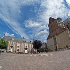
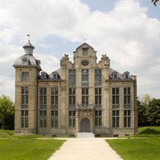
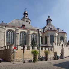
The settlement received its charter of rights from Henry I, Duke of Brabant, in 1192 to strengthen local backing against neighboring Flanders. This royal recognition marked its emergence as an important place in the region.
Dutch serves as the official language here, though many residents also speak French, creating a bilingual community where both languages coexist in daily life. This linguistic mix is visible in street signs, local shops, and neighborhood interactions.
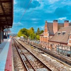
The city connects easily to the wider transportation network through railway lines, allowing straightforward travel to Brussels and other Belgian cities. These rail connections make it convenient to explore the area or reach nearby major centers.
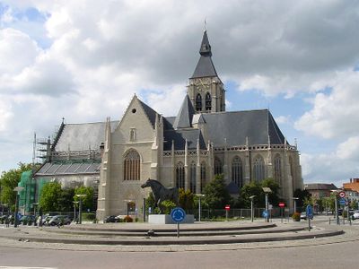
Local residents carry the nickname Pjeirefretters, referencing a traditional local practice of eating horse meat that has long defined the area's food culture. This distinctive culinary habit remains part of what makes the place locally recognizable today.
The community of curious travelers
AroundUs brings together thousands of curated places, local tips, and hidden gems, enriched daily by 60,000 contributors worldwide.