Enable Location

We need your location to show you interesting places around you

Discover nearby places

Find interesting locations and hidden gems around you

Precise directions

Get accurate directions and distances to places

Your location is never shared with other users. It's only used when you tap the location button.

Geel

Log in to your account

Join the adventure

Create your free account and start exploring (like 60k+ others)

We will send you a code to connect

or
Continue with Google
Continue with Apple
By continuing, you accept our Terms and Conditions and our Privacy Policy

Check your inbox

We've sent a pincode in your inbox. Please enter the code below.

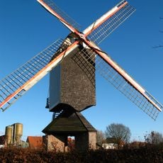
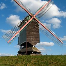
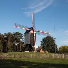
Geel, Municipality in Kempenland Plateau, Belgium

Description

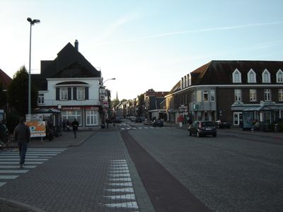
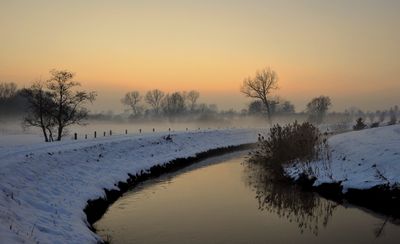
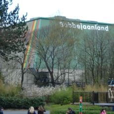
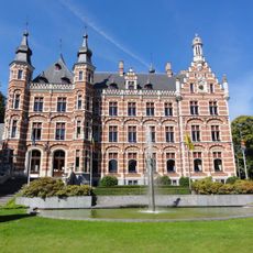
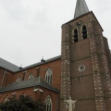
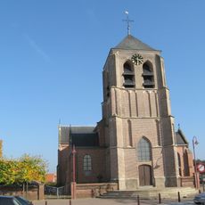
Geel is a municipality in Flanders, located east of Antwerp on the Kempenland Plateau. The town features a central area with historic churches, residential neighborhoods, educational institutions, and industrial zones spread across its territory.

History

Iron Age settlements existed in the area according to archaeological findings. The name Geel derives from Germanic roots and relates to the color yellow, reflecting early medieval settlement patterns.

Culture

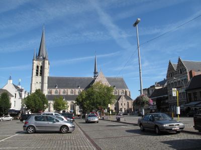
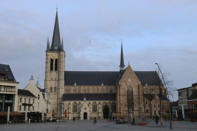
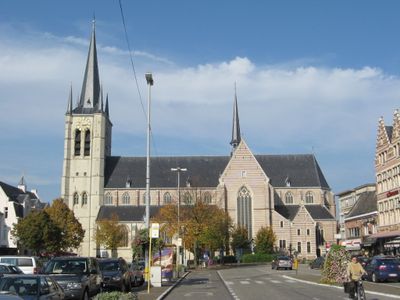
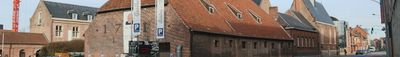
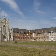
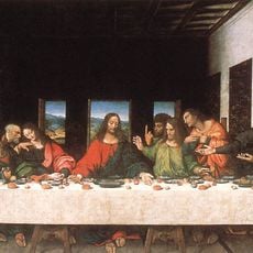
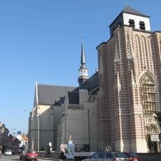
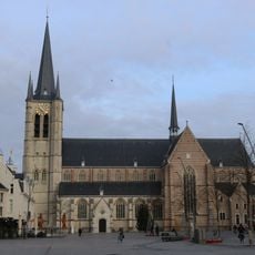
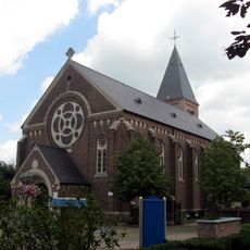
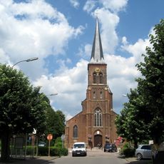
Sint-Dimpna church stands as a pilgrimage destination honoring an Irish saint associated with mental health and healing, shaping the community's identity. The religious tradition has drawn visitors for centuries and remains central to local life.

Practical

The city is well-organized with distinct areas for residential, educational, and commercial purposes, making it easy to navigate. The town center with its churches and market square serves as a natural starting point for exploring.

Did you know?

The city is known for an unusual care model where people with mental health conditions have lived in private homes for centuries, treated as family members rather than patients. This community-based approach operates alongside modern healthcare facilities and remains distinctive worldwide.

Capital city
Geel
Operator
Stad Geel
Part of
Emergency zone Antwerp 5, Politiezone Geel-Laakdal-Meerhout
Shares border with
Mol, Kasterlee, Laakdal, Olen, Westerlo, Meerhout, Retie
Phone
Email
Website
GPS coordinates
51.16111,4.99028
Latest update
December 20, 2025 00:42

AroundUs brings together thousands of curated places, local tips, and hidden gems, enriched daily by 60,000 contributors worldwide. Discover all places nearby (Arrondissement of Turnhout).

« Geel - Municipality in Kempenland Plateau, Belgium » is provided by Around Us (aroundus.com). Images and texts are derived from Wikimedia project under a Creative Commons license. You are allowed to copy, distribute, and modify copies of this page, under the conditions set by the license, as long as this note is clearly visible.

Discover hidden gems everywhere you go!

From secret cafés to breathtaking viewpoints, skip the crowded tourist spots and find places that match your style. Our app makes it easy with voice search, smart filtering, route optimization, and insider tips from travelers worldwide. Download now for the complete mobile experience.

Around Us App Screenshot

A unique approach to discovering new places

Le Figaro

All the places worth exploring

France Info

A tailor-made excursion in just a few clicks

20 Minutes

Around Us
Travel Guide & Maps
Download

Send to your phone

QR Code
1

Open the camera app on your mobile.

2

Point at the QR code with your camera. A notification will appear.

3

Tap the notification to open the link.