
Thuin, municipality section and town in Thuin municipality, Belgium
Location: Thuin
Shares border with: Gozée, Thuillies, Biesme-sous-Thuin, Ragnies, Biercée, Mont-Sainte-Geneviève, Lobbes
GPS coordinates: 50.33984,4.28740
Latest update: May 27, 2025 16:34
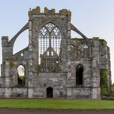
Aulne Abbey
4.3 km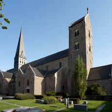
Saint-Ursmer Collegiate Church
1.7 km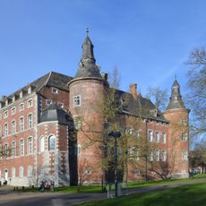
Castle of Monceau-sur-Sambre
10.1 km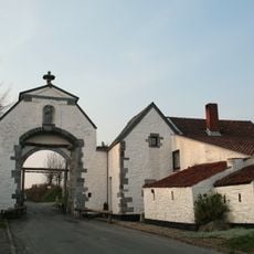
Lobbes Abbey
2 km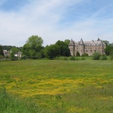
Ham-sur-Heure Castle
7.7 km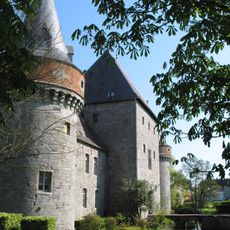
Solre-sur-Sambre Castle
9.9 km
Museum of Photography in Charleroi
10 km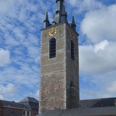
Belfry of Thuin
61 m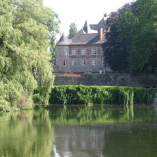
Fosteau Castle
4.6 km
Fontaine-l'Évêque Castle
8.5 km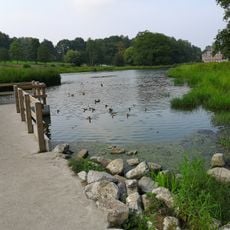
Monceau-sur-Sambre park
10 km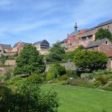
Hanging Gardens of Thuin
159 m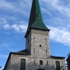
Église de la Conversion de saint Paul de Mont-sur-Marchienne
10.1 km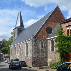
Notre-Dame d'el Vaux
423 m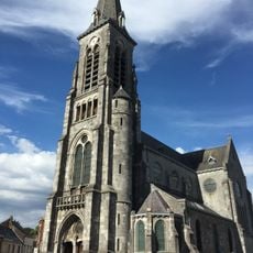
Église Saint Martin
7.4 km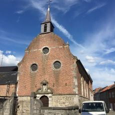
Chapelle Saint Roch
7.4 km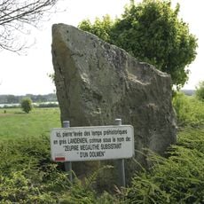
Zeupire
4.5 km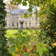
Thuillies Castle
5.7 km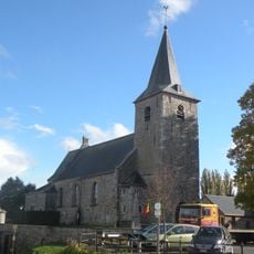
Église Saint-Martin de Ragnies
3.5 km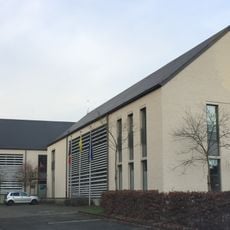
Hôtel de police de Ham-sur-Heure
7.5 km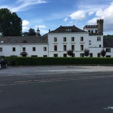
Château de Hameau
8.5 km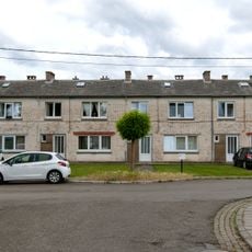
Cité Mon Logis
9.7 km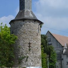
Château-ferme de la Torre
10.3 km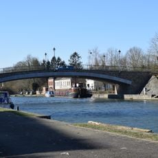
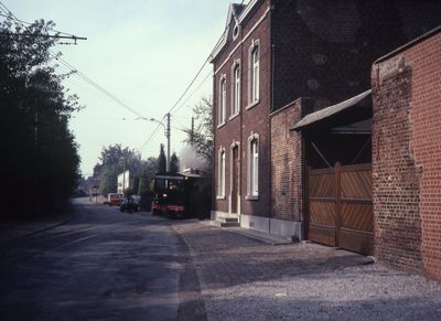
Lobbes Bridge
1.7 km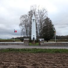
Necropolis of Heuleu
2.4 km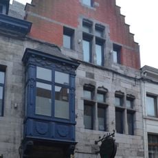
Maison espagnole
114 m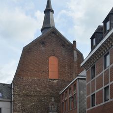
Église Notre-Dame du Mont-Carmel
128 m
Chapelle des Sœurs grises
303 mVisited this place? Tap the stars to rate it and share your experience / photos with the community! Try now! You can cancel it anytime.
Discover hidden gems everywhere you go!
From secret cafés to breathtaking viewpoints, skip the crowded tourist spots and find places that match your style. Our app makes it easy with voice search, smart filtering, route optimization, and insider tips from travelers worldwide. Download now for the complete mobile experience.

A unique approach to discovering new places❞
— Le Figaro
All the places worth exploring❞
— France Info
A tailor-made excursion in just a few clicks❞
— 20 Minutes