
Vilvoorde, town in Vilvoorde municipality, Belgium
Location: Vilvoorde
Elevation above the sea: 17 m
GPS coordinates: 50.92890,4.43230
Latest update: May 27, 2025 18:16
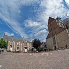
Grimbergen Abbey
4.3 km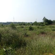
Uplace
2.3 km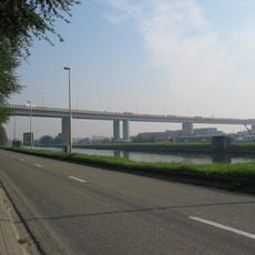
Vilvoorde Viaduct
1.9 km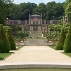
Domein Drie Fonteinen
1.9 km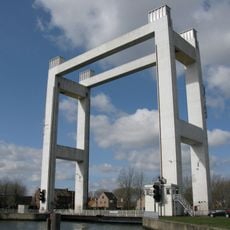
Verbrande Brug
2.5 km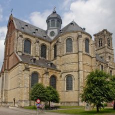
Basilica of Saint Servatius
4.3 km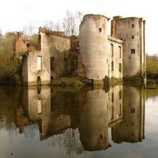
Prinsenkasteel
4.3 km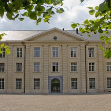
Tuchthuis, Vilvoorde
866 m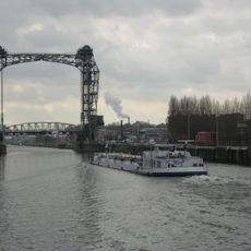
Buda Bridge
3.2 km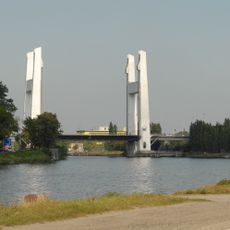
Europabrug
1.1 km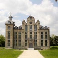
Beaulieu Castle
2.8 km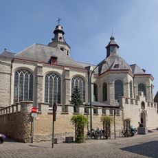
Onze-Lieve-Vrouw ten Troost
236 m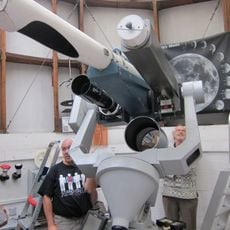
Volkssterrenwacht Mira
4.5 km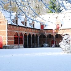
Museum of old techniques
4.3 km
Kasteel d'Overschie
4.4 km
Senecaberg
1.6 km
Lintkasteel
4.1 km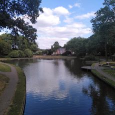
Hanssenspark
579 m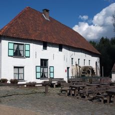
Tommenmolen
3.8 km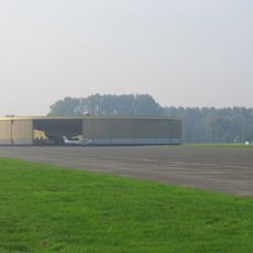
Vliegtuigloodsen
3.3 km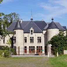
Madoetskasteel
3.8 km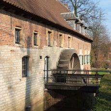
Liermolen
4.3 km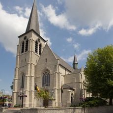
Sint-Gertrudiskerk
1.8 km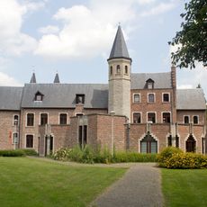
Kasteel Pellenberg
1.6 km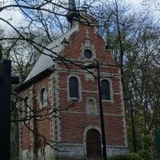
Lendrikkapel
1.5 km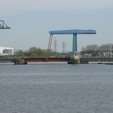
Gouletbrug
2 km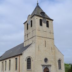
Sint-Martinuskerk
3.3 km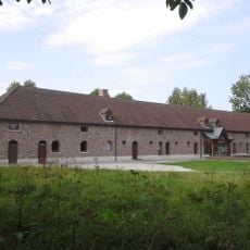
Charleroyhoeve
4.1 kmReviews
Visited this place? Tap the stars to rate it and share your experience / photos with the community! Try now! You can cancel it anytime.
Discover hidden gems everywhere you go!
From secret cafés to breathtaking viewpoints, skip the crowded tourist spots and find places that match your style. Our app makes it easy with voice search, smart filtering, route optimization, and insider tips from travelers worldwide. Download now for the complete mobile experience.

A unique approach to discovering new places❞
— Le Figaro
All the places worth exploring❞
— France Info
A tailor-made excursion in just a few clicks❞
— 20 Minutes