Ogreyak, Mountain summit in Vlahina Range, Bulgaria and North Macedonia
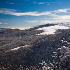
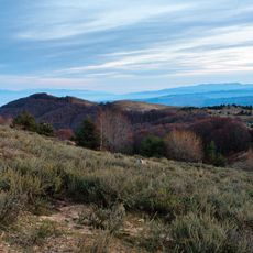
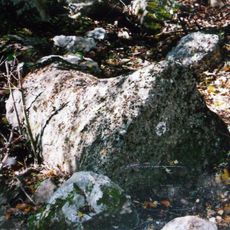
Ogreyak is the highest summit of the Vlahina range, rising to 1924 metres on the border between Bulgaria and North Macedonia. Its sharp slopes dominate the surrounding flattened ridge: the northern and western sides are gentle, while the south-western and south-eastern flanks are steep. The peak is built of metamorphic rock, with beech forest up to 1600 metres and subalpine grass above.
The summit was called Kadiytsa until 1942, when it was renamed Ogreyak; the name Kadiytsa returned in 1946 and was used until 1989, after which Ogreyak was restored. The state border between Bulgaria and North Macedonia runs north-south along its ridge, marked by boundary pyramid No. 55 at the highest point. A triangulation mark stands 120 m east and slightly lower, and the often-cited height of 1924 m was measured there, not at the pyramid.
The peak is known locally as Kadiitsa, the name used before 1942 and still current among residents and on Bulgarian topographic maps. The state border runs north-south along the ridge, marked at the top by boundary pyramid No. 55, with a triangulation mark 120 m to the east.
The main starting points are the villages of Sushitsa and Brestovo in Simitli Municipality, Bulgaria. The climb follows border dirt roads and has no marked trail, so a permit from the Border Police is required. The state border runs along the ridge, and border pyramid No. 55 stands at the highest point.
The 1924-metre figure was measured at the triangulation mark, 120 metres east of border pyramid No. 55 and slightly lower; the pyramid itself stands at the actual highest point. The summit ridge carries the state border, and the peak is still called Kaditza by local people and on Bulgarian topographic maps.
The community of curious travelers
AroundUs brings together thousands of curated places, local tips, and hidden gems, enriched daily by 94,402 contributors worldwide.