Chest opened
+${chestReward.xp} XP
Explorer
NOUVEAU ×${chestReward.collectible.quantity}
tapez pour fermer
Chest locked

Open chests in the app

Around Us is built for your phone — chests unlock when you walk, explore and capture nearby places.

Enable Location

We need your location to show you interesting places around you

Discover nearby places

Find interesting locations and hidden gems around you

Precise directions

Get accurate directions and distances to places

Your location is never shared with other users. It's only used when you tap the location button.

Green Mountains

Log in to your account

Start exploring — it's free

Trusted by 72,885 travelers worldwide

Continue with Google
Continue with Apple
or

We will send you a code to connect

By continuing, you accept our Terms and Conditions and our Privacy Policy

Check your inbox

We've sent a pincode in your inbox. Please enter the code below.

Discussion Reviews 3 Photos
54.8k Popularity

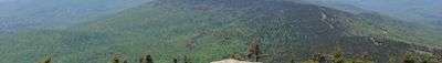
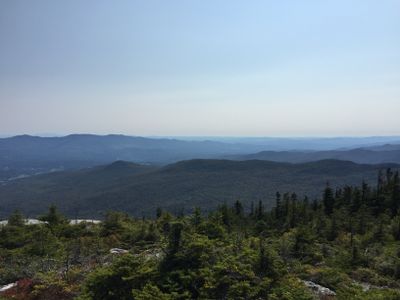
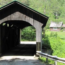
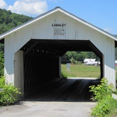
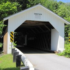
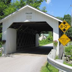
Green Mountains, Mountain range in Vermont, United States and physiographic section in Quebec, Canada.

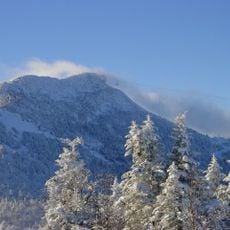
This mountain range runs through Vermont and Quebec, forming a long chain of forested peaks across eastern North America. The highest point sits on Mount Mansfield, which rises above the surrounding valleys.

Samuel de Champlain reached the area in the early 17th century and gave the mountains their French name. The range later became an important area for logging and tourism.

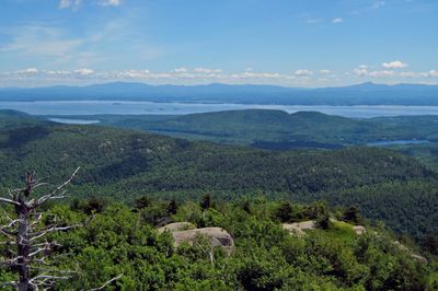
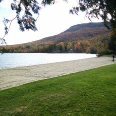
The name comes from the French and refers to the forested slopes that appear green when seen from a distance. These mountains play an important role in regional life, supporting both winter sports and hiking throughout the year.

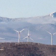
The range offers access for hikers and skiers, with trails and slopes spread across many valleys and summits. Conditions change sharply with the seasons, and winter can bring very cold weather at higher elevations.

A long-distance hiking trail runs along the main ridges and connects many summits over a great distance. This path was one of the first of its kind in North America and still draws hikers today.

The community of curious travelers

AroundUs brings together thousands of curated places, local tips, and hidden gems, enriched daily by 60,000 contributors worldwide.

Start exploring
Location
Location
Elevation above the sea
1,339 m
GPS coordinates
44.79167,-72.58278
Latest update
December 14, 2025 17:29
Around this place
Jay Peak
United States of America

Jay Peak

15.4 km
Big Jay
United States of America

Big Jay

14.1 km
Green River Reservoir State Park
United States of America

Green River Reservoir State Park

19.4 km
Church Street Covered Bridge
United States of America

Church Street Covered Bridge

18.7 km
Morgan Covered Bridge
United States of America

Morgan Covered Bridge

12.7 km
Hutchins Covered Bridge
United States of America

Hutchins Covered Bridge

7.8 km
West Hill Covered Bridge
United States of America

West Hill Covered Bridge

9.9 km
Montgomery Covered Bridge
United States of America

Montgomery Covered Bridge

18 km
Longley Covered Bridge
United States of America

Longley Covered Bridge

14.1 km
Enosburg Congregational Memorial Church
United States of America

Enosburg Congregational Memorial Church

16.9 km
Comstock Covered Bridge
United States of America

Comstock Covered Bridge

12.9 km
Fuller Covered Bridge
United States of America

Fuller Covered Bridge

13.2 km
River Road Covered Bridge
United States of America

River Road Covered Bridge

23.6 km
Power House Covered Bridge
United States of America

Power House Covered Bridge

18.7 km
Mill Covered Bridge
United States of America

Mill Covered Bridge

13.6 km
East Fairfield Covered Bridge
United States of America

East Fairfield Covered Bridge

22.1 km
St. George's Catholic Church
United States of America

St. George's Catholic Church

17.2 km
Scribner Covered Bridge
United States of America

Scribner Covered Bridge

17.9 km
Hectorville Covered Bridge
United States of America

Hectorville Covered Bridge

7.3 km
Bridge 12
United States of America

Bridge 12

19.8 km
Waterman Covered Bridge
United States of America

Waterman Covered Bridge

21.8 km
Nye Block
United States of America

Nye Block

19.1 km
Lamoille County Courthouse
United States of America

Lamoille County Courthouse

22.3 km
Enosburg Opera House
United States of America

Enosburg Opera House

21.7 km
Jaynes Covered Bridge
United States of America

Jaynes Covered Bridge

16.3 km
Montgomery House
United States of America

Montgomery House

13 km
Bridge 6
United States of America

Bridge 6

19.3 km
Waterville Village Historic District
United States of America

Waterville Village Historic District

18.6 km
Show the full map
Reviews
Share your experience

No review yet

Discussions
Start a discussion...

No discussion yet

« Green Mountains - Mountain range in Vermont, United States and physiographic section in Quebec, Canada » is provided by Around Us (aroundus.com). Images and texts are derived from Wikimedia project under a Creative Commons license. You are allowed to copy, distribute, and modify copies of this page, under the conditions set by the license, as long as this note is clearly visible.

Discover hidden gems everywhere you go!

From secret cafés to breathtaking viewpoints, skip the crowded tourist spots and find places that match your style. Our app makes it easy with voice search, smart filtering, route optimization, and insider tips from travelers worldwide. Download now for the complete mobile experience.

Around Us App Screenshot

A unique approach to discovering new places

Le Figaro

All the places worth exploring

France Info

A tailor-made excursion in just a few clicks

20 Minutes

Around Us
Travel Guide & Maps
Download

Send to your phone

QR Code
1

Open the camera app on your mobile.

2

Point at the QR code with your camera. A notification will appear.

3

Tap the notification to open the link.