Maritimes, Geographic region in Eastern Canada
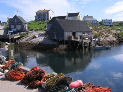
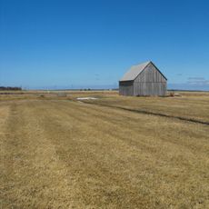
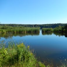
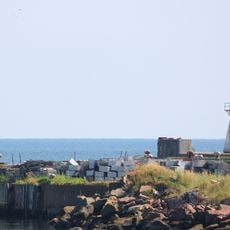
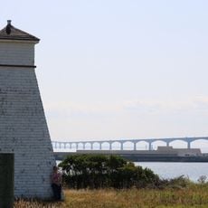
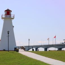
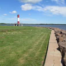
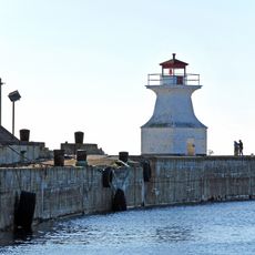
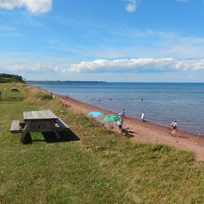
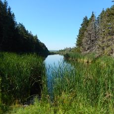
The Maritimes form a region in eastern Canada that includes the provinces of Nova Scotia, New Brunswick and Prince Edward Island, with more than 20,000 kilometers (12,400 miles) of coastline along the Atlantic Ocean and the Gulf of St. Lawrence. Small fishing villages alternate with rolling hills and forests, while larger towns provide harbors and ferry links connecting the three provinces.
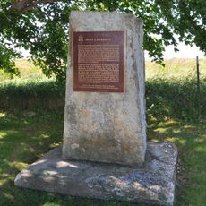
French settlers founded Acadia in the early 1600s and built villages and forts along the coast before Britain took control after the Treaty of Utrecht in 1713. British administration brought new settlers from Scotland, Ireland and New England, reshaping the countryside and place names for generations.
Mi'kmaq, Maliseet and Passamaquoddy communities have lived here for centuries, and their languages are still heard at community gatherings and craft markets. Acadian French shapes the place names and smaller towns, where family traditions from the 1700s continue in kitchens, folk dances and summer parades.
The region is best explored by car, as smaller towns often lack public transport and many coastal roads pass through remote areas. Summer months offer longer daylight hours and milder weather, while winters bring frequent snow and cold winds off the Atlantic.
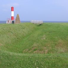
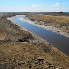
The Bay of Fundy between Nova Scotia and New Brunswick holds the world's highest tides, with water rising and falling up to 16 meters (52 feet) twice daily. At low tide a broad ocean floor of red rocks and tidal pools appears, while the flood returns within hours and fills narrow inlets.
The community of curious travelers
AroundUs brings together thousands of curated places, local tips, and hidden gems, enriched daily by 60,000 contributors worldwide.